Day 4 – 23 kilometres with 590 metres ascent

It was probably one of the worst nights that I have ever had for condensation. No wind, next to a stream and temperatures around freezing meant the walls were dripping by morning. That was in a huge drafty shelter with no door, my Scarp would have turned into a chilly sauna. Rather than start moving about and get everything wet with drips I decided to lay in my sleeping bag until the sun hit and dried everything out. Therefore it was once again gone 9.00am by the time I got up, no great hardship. I was spoilt by another alfresco breakfast, stretched out on a groundsheet in the warm sun. I wish that everyday could start like that.

It was yet another morning where the blue sky looked unreal such was its brilliance.

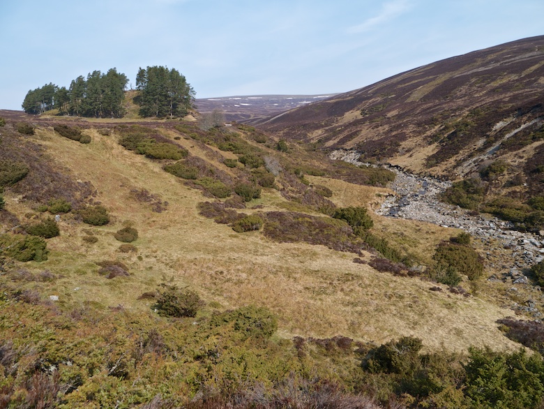
I followed the River Eskin for a while until it met a series of streams flowing down from Coire Seilich. Once again I used a series of grassy rides alongside the streams to guide me through the peat and heather on the climb to the north. Along one such stream I came across a large lurid green bog. A prod with my Pacerpole failed to reach solid ground. Not a spot to unwittingly stumble into, especially with no one to pull you out.

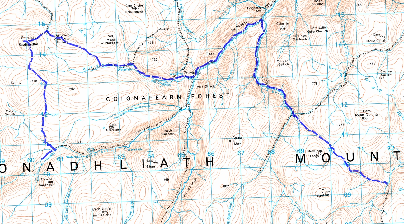
The last couple of kilometres to the summit of Carn na Saobhaidhe was particularly unpleasant, height did little to tame the vegetation. Time was spent lurching and cursing under the hot sun, feeling like the summit was not getting any closer. Height however did increase the views and I could look east and see my route for later in the day.

As I was approaching the summit I kept spotting a bright yellow object, this would move about and then disappear. It was difficult to work out what it was from a distance. As I eventually reached the summit plateau I could see it was a man in a high-vis tabard taking 360 degree photos on a large camera. For me there could only be one reason he would be there and I asked him if he was taking photos for a wind farm. He confirmed that he was. There then took place a short and polite conversation about wind farms. He said that he liked them for their beauty and they give him employment. I asked him a series of questions and he obliged by answering them.
As I am an Independent Advocate in my professional life I am aware that you need to talk to the right person if you want to influence change. I have my personal feelings about building wind farms in such places but it was not really appropriate to inflict them on this guy. At the end of the day he was a very small cog in a huge machine. I did think of various uses for his tripod though.
I decided to shuffle off and seek some shelter in which to have lunch. A mound of peat with grouse grit on top was the only such shelter on the exposed hill. I could also turn my back on the man in the fluorescent tabard and enjoy the view to the north. Ben Wyvis was clearly seen and I could just make out the Kessock bridge near Inverness. My phone even received a signal when I turned it on giving me the opportunity to call my wife.
It really was rather pleasant in the sun and I had to resist the temptation to have a bit of a snooze. Back on my feet I once again passed the guy taking his panoramic photos, this time without his bright jacket. I had mentioned to him earlier that he was visible from miles away, perhaps he decided he did not want to draw attention to himself again. As I left the hill I registered my protest by ensuring that I walked into shot.

I have heard about the track that leads to the summit of Carn na Saobhaidhe from the north. However nothing could have prepared me for just how destructive it was. A deep gash bulldozed through the soft peat, mounds piled up to ten feet high on either side. It really was spectacular in its hideousness. What made me chuckle however was that the chap doing the wind farm panoramas could not get his vehicle up it as it was full of snow. Once away from the monstrosity, the cairn on Carn Mhic Lamhair was a nice place to sit down again.

Rough ground was crossed before dropping down to Allt Odhar and an easy track to the cottage at Dalbeg. This occupies a prime spot on the upper reaches of the River Findhorn. If the owners are reading this and fancy letting me stay please get in touch!


This part of the Findhorn is simply lovely, an area where I enjoyed a wild camp during the 2011 TGO Challenge. A good track led me rapidly towards Coignafearn lodge, my pack feeling heavy and feet hot under the cloudless skies.


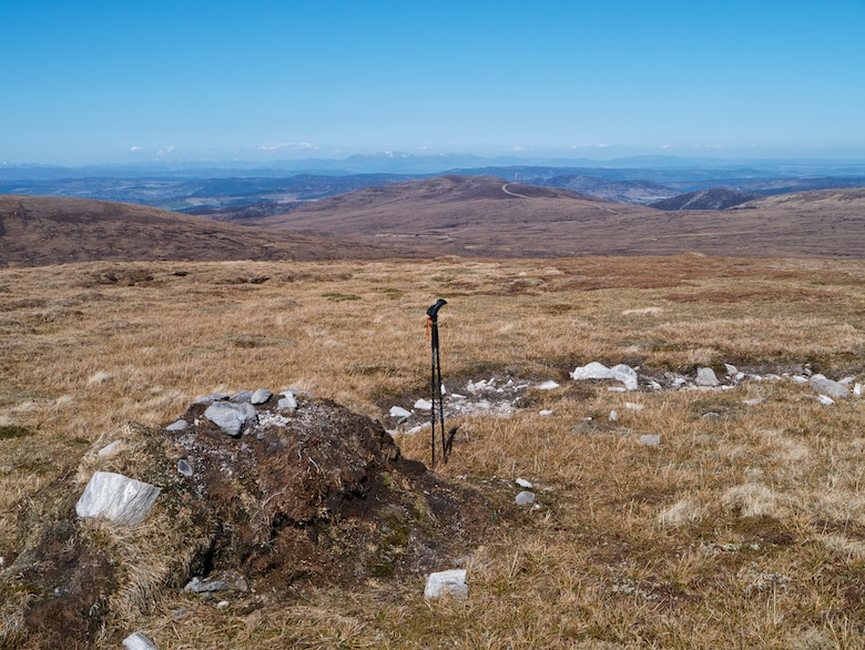
I took a track that branched off up the Elrick burn and I was now at the lowest spot since the beginning of the trip, a lowly 450 metres. There was then a long steady climb ahead as I wanted to cross the watershed into the upper Dulnain before the end of the day. The track gave easy progress up the scenic glen, the river a lively companion to my left.

I had planned to cross the burn at a footbridge but this was now in pieces beside the track, only steel girders remaining. I continued to the ford further upstream where boots and socks were removed. The ford was wide but reasonably smooth bottomed meaning it was not too painful on bare feet, the freezing water on the other hand initially made me gasp. With it reaching my knees there was no way to cross dry-shod whilst wearing boots.
The track soon started to zig zag up the hillside to the left, I climbed up this for a while before branching off on an unmarked track that just happened to be going in my direction above the stream. This contrasted hugely with the great scar I had witnessed near Carn na Saobhaidhe, with a little effort hill tracks don’t have to be huge monstrosities.

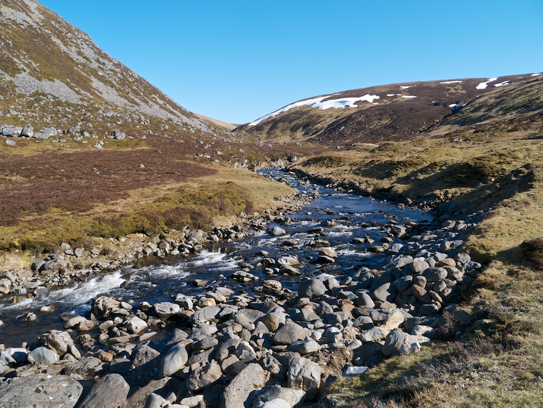
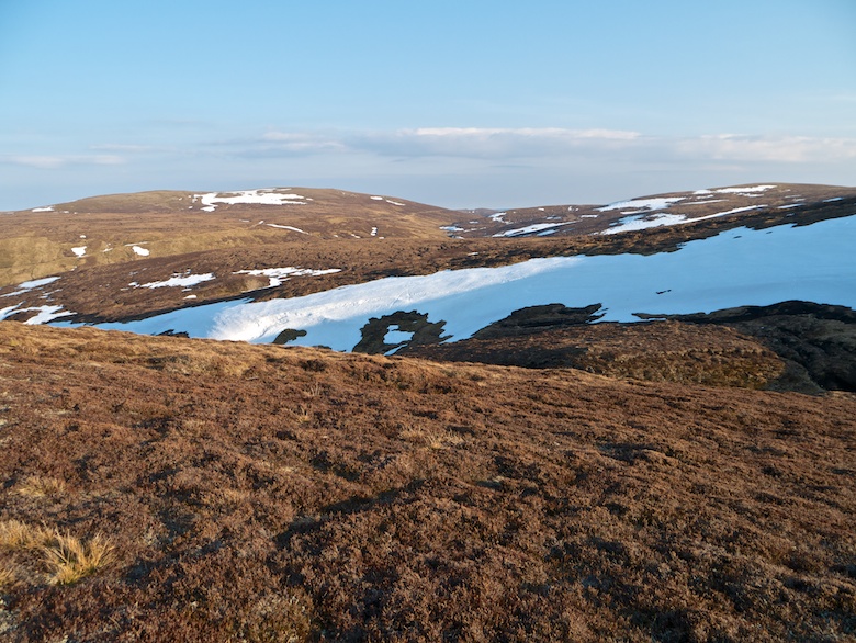
When the track petered out it was a simple case of following grassy banks along the infant stream to its watershed, this being hidden under lingering snow banks. It was like a game of Russian roulette as I gingerly crossed them, aware of the sound of running water. Once again it was a glorious evening, the low sun casting warmth and shadow across the heather clad hillsides.
I was tired when I finally reached the wooden bothy, so decided to spend the night inside rather than pitch the Trailstar. The hard wooden floor was unforgiving but it would enable an easy getaway the following morning.
Day 5 – 11 kilometres with 160 metres

After spending nights on beds of moss and grassy river banks, a hard floor meant I did not sleep very well. I had a long drive ahead of me later that day so I was off and away before the sun cast away the shadows around the bothy. The track that would lead me directly back to Kingussie was at an easy gradient. I felt a bit sad as I had a final look over my shoulders into the wild heart of the Monadhliath before the trudge back to the car.


The final stretch of tarmac between Pitmain Lodge and Kingussie was a bit of a bore, especially with a rumbling belly. I had eaten the last of my food for breakfast, supplies being rationed the previous day. The Coop was raided for carbohydrate and sugar based foods to set me on my way for the 400 mile drive south.