Posts tagged ‘Wild camping’

August 22, 2010

Backpacking the Black Mountain and Fan Gyhirych

by backpackingbongos

I have been looking at the area to the south of the Black Mountain escarpment for a while now as it is an area which has held a fascination for me.  Miles and miles of nothing with large areas of limestone breaking through the earths surface.  I have tramped the high hills of Fan Brycheiniog and Bannau Sir Gaer in the past, but the sheer bleakness of the land that rises up to their lofty heights has been untrodden by my or many others footsteps.  Add into the mix the mountain Fan Gyhirych which eluded me on my last trip to the area due to bad weather and a cracking backpacking route evolved from the comfort of my armchair.

For once we were blessed with a good weather forecast, we seemed to be heading for the sunniest spot in the whole of the UK that weekend.  In reality that turned out to be another tall tale spun by the Met Office.

Day 1 – 8.3 miles with 710 metres ascent

I did not really know where to leave the van to start this walk, in the end I parked up at the campsite next to the Dan-yr-Ogof caves.  £3 per day gave me piece of mind, it also gave us the spectacle of Dan-yr-Ogof in Augsut.  The place was absolutely heaving, I mean really heaving.  Surely it must be good to attract such crowds, many of whom were clutching toy dinosaurs.  We felt out of place in our hiking gear and backpacks as we made a hasty exit.  Now the plan was to access the Beacons way via Craig-y-nos Country park, instead we got on the wrong path which was not marked on my map.  I then tried in vain to make what I was seeing match the map, until it was glaringly obvious that things were not working out.  Some crashing through trees and a hop over a barbed wired fence got us back on track.  A pleasant overgrown path soon had us climbing, it was nice to gain height surrounded by trees to then get a sudden view.

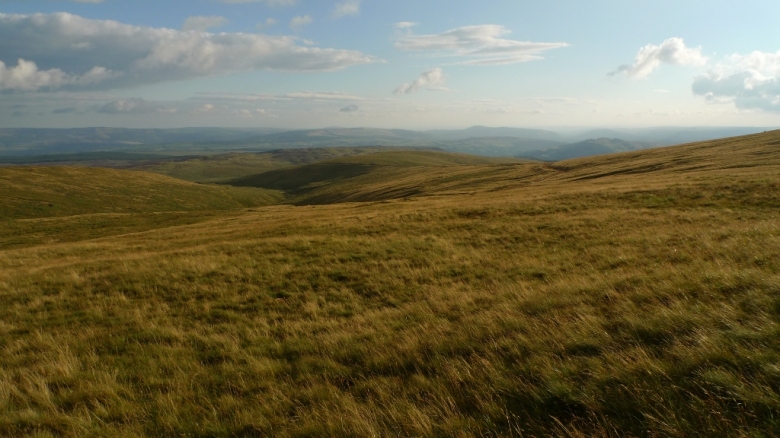
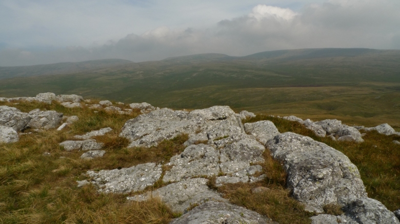
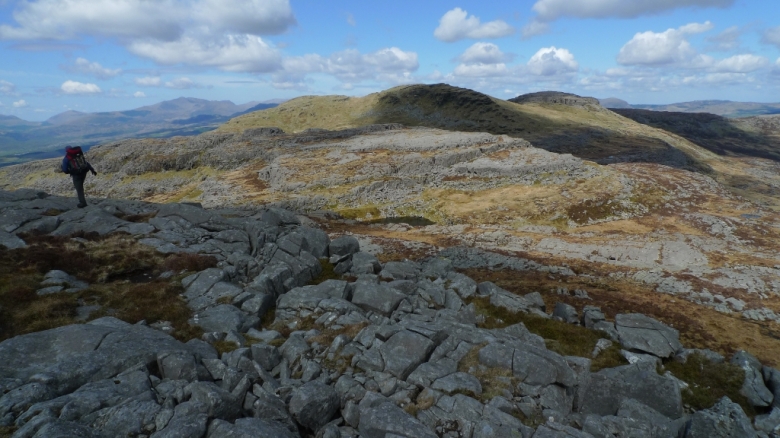
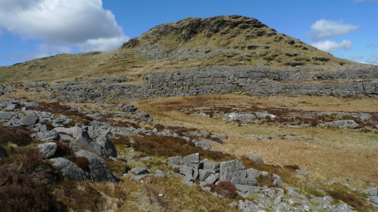
A large quarry was passed and we started ascending the pleasant grassy track across Ogaf-Ffynon-Ddu Pant Mawr National nature reserve (I think that they need to work on the title of that).  A large area of limestone pavements with apparently one of the deepest cave networks in the UK underneath.  The detour to the summit of Cerreg Cadno was hard work through the jumble of limestone blocks but the views were well worth the effort.  For me wild limestone uplands are atmospheric places and make a change from the usual peat and rough grassland we normally get when up high.

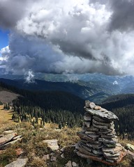
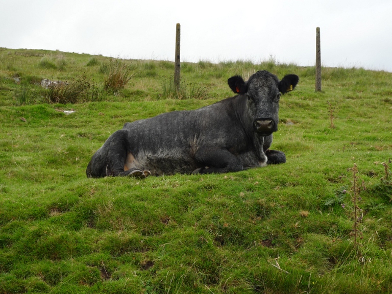
The plan had been to camp somewhere between here and the summit of Fan Gyhirych, the wind and what looked like gathering clouds meant we dismissed a summit camp.  There was a good area of nice looking green grass to the north of us but that was occupied by a herd of cows, never the best camping buddies.  A quick visit to a nice looking cairn and we descended to the track that skirts the bottom of the high valley.

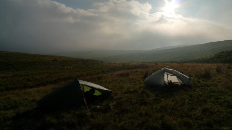
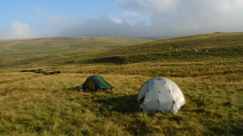
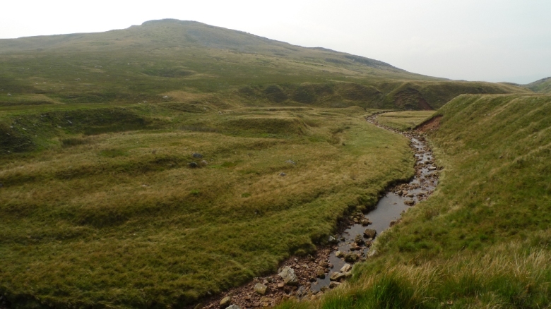
The valley bottom is a sea of bog with a lazy stream running through it, it disappears underground into Pwll Byfre which looks like it is probably an old quarry.  We soon found a large area of short cropped grass near a sheepfold and got the tents up, I was excited because it was the first time I had put my brand new Scarp1 up.  Things were not all well with my new tent, if you wish to read about it click here.  As it was only 6.00pm we decided to head to the summits of Fan Gyhirych and Fan Fraith before settling down for the night.  There was more of a spring to our steps as we headed off up the track without the weight of our packs.  Approaching the top of Fan Gyhirych we noticed that the sky to the north had turned a rather ominous shade of black.

Although to the south it looked like the perfect summers day.

Suddenly the world was at our feet and we found ourselves sandwiched between the sun behind and the approaching storm.  As we watched we saw the distant Pen y Fan disappear into the clouds.  We had initially hoped that the clouds were drifting to the east, although it became apparent that they were heading straight for us.

A yomp up to the trig point and then back to the track was followed by a short pull to the summit of Fan Fraith, here the rain finally caught up with us.  We dropped down to the Byfre Fechan before the track took us quickly back to the tents.  Encased in our own nylon worlds we cooked our dinners and swatted at the odd rogue midge that came out to play.

It was during the night that it became apparent that we were on a fair old slope, I spent half of the night retrieving myself from the bottom of the tent.  As I constantly shuffled my way back up again I could hear the heavy persistent rain drumming on the flysheet.

Day 2 – 10.6 miles with 855 metres ascent

It rained pretty much all night with a heavy persistence that makes you wonder if it is ever going to stop.  There was still light rain falling when I started cooking breakfast.  It was a grey dull start to the day.

Wet tents were packed away and we started easily enough by following the track west into the forest.  Here I discovered that having your map in your rucksack does not help on the navigation front and we missed our turn.  I discovered the error when I realised that we were heading too far downhill, a consult of the map showed that we could head for the disused railway track instead of heading back uphill.  Out of the forest we would see the long escarpment of the Black Mountain ahead, the way being blocked by the low bulk of Waun Leuci.

The railway track turned out to be a good route north to the head of the valley, allowing us to cover some distance without much effort.  We stood for a while watching a pair of Goldfinches in the thistles whilst a cow watched us.

At the head of the valley we reached an old stone tower and started the ascent of Waun Leuci, keen to get it out of the way so we could explore the Black Mountain.  A retrospective view back showed just how steep the upper slopes of Fan Gyhirych are, we would have come down that way today if we had not climbed the hill the night before.

As we descended towards the River Tawe a heavy passing shower got us reaching for our waterproofs, no sooner than we were all kitted out than the rain stopped and the sun came out.  Luckily the river was easy to cross without getting feet wet and we climbed up to the standing stone of Maen Mawr and a tiny little stone circle.

The outflow from Llyn y Fan Fawr cuts a deep course through the hillside, something that is not that obvious by looking at the map.  This gives an easy and pleasant ascent on short grass beside a series of waterfalls.  If it had have been hot there were several tempting looking pools for a spot of skinny dipping beneath some of the falls.

The ground soon levelled off as we approached the lake under the cliffs, once again in the distance the clouds were beginning to brew up.  It became a race against time to get to the top before the mists rolled in.  Half way up the rocky staircase  the rain won, sweeping quickly in before passing and leaving us with a great view from the summit.

From here is one of the most spectacular escarpment walks in Wales, to the right broken cliffs swoop down to deep lakes whilst to the left bleak moorland gently descends into a wilderness of deep valleys and limestone peaks.  We were looking forward to the walk over Bannau Sir Gaer for the views down to Lynn y Fan Fach.

The weather had other ideas for us as once again the sky went black to the north.  But this time the rain came in like a solid wall, enveloping us immediately in a dark grey swirling world.  It was like a light switch had been turned off.  Mist dramatically shot over the summit lowering with dramatic speed, the rain hit us hard like little bullets.  I only had a t-shirt under my thin summer waterproofs and I could feel every single drop pummel my skin.  For a good hour it absolutely chucked it down taking away the pleasure of the views we had been looking forward to.  It took a little pacing to work out the exact summit on Waun Lefrith before taking a compass bearing into the mist.  We were now heading off into the wilds and I could only see one hundred metres ahead, I had been hoping for sun and clear visibility for this bit!  Half way down the mist cleared and the sun put in an appearance once again.  We branched off and followed the rough line of a bridleway towards the upper Afon Twrch where we found a good sheltered flat pitch near to the ford.  We got our tents up just in time before another heavy shower passed over head.

Day 3 – 4.7 miles with 235 metres ascent

I slept well that night and was thankful not to be sliding to the bottom of the tent every five minutes.  It remained dry but the wind managed to really pick up in the middle of the night, my tent shedding it well with hardly a flap.  Warm sun woke me up in the morning and combination of that and high mist made our campsite appear rather atmospheric.

It was one of those relaxing wild camping mornings that I wish could go on forever, some days you just fancy staying in the same spot and lapping up the scenery.  A good dose of warm sun and a cooling breeze certainly helped the relaxed feel.

However I had nearly finished packing up when it went a little wrong.  I suddenly found my breakfast noodles back up on the grass in all their undigested glory.  I felt flushed and giddy with a needle filled belly, just what I did not want when backpacking.  This was one of the first trips for years where I had been really good at filtering all my water so it shouldn’t be that.  The sickness did pass but I had lost the initial joy of spring feeling that had woken me up.

Fording the river we took the narrow bridleway up into the hills where we met our first group, it was not even 10am so they must have been up and away early to walk the few miles in from the road.  The path descended to the Pwll y Cig, a stream with steep banks and lots of very inviting looking wild camping spots.  One of which looked so inviting that I may have to go back in winter just so that I can use it!

We noticed that the river flows into a swallow hole so decided to follow it, high up on the steep bank.  Being limestone the river disappeared before reaching it but the remote area was well worth exploring.  There is a beautiful wild remote feeling to this area, something that I could not put a finger on.  All that I can say is that it held a weird magical spell over me.  I want to go back and explore slowly taking in the atmosphere.

A short ascent brought the rocky summit of Disgwylfa with its views of the bleak hinterland.

And towards the next minor peak on the ridge, Carreg Goch with its outcrops of limestone.

An easy descent east towards the track back down into the valley took us past massive shake holes that were perfectly circular, looking all the world like giant bomb craters.  The track was a perfect grassy delight as it led downhill through an increasingly green landscape, limestone outcrops reminding me of the Yorkshire Dales.

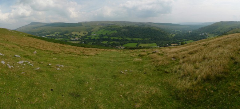
We braced ourselves for the chaos of the showcaves car park but strangely it was almost deserted and calm prevailed.  Even the campsite looked rather attractive now that it was not surrounded by a sea of vehicles.  A hot and sunny finish to a great weekend among some pretty special hills.

August 7, 2010

Backpacking the southern Arenigs from Llanuwchllyn

by backpackingbongos

I sometimes can find choice overwhelming, for instance put me in a supermarket and ask me to choose a packet of biscuits.  My brain sort of short circuits and I have to ask my partner for help.  It’s either that or pick up some fig rolls, the cupboard is always full of fig rolls.

The same could be said for the hills in Britain, it can be a difficult task trying to make up your mind where to go for a weekend backpack.  Distance needed to drive narrows things down a bit, I can stomach a 3 or 4 hour drive either way for a weekend in the hills.  That still gives a good variety to choose from, most of Wales, Peak District, Yorkshire Dales, North Pennines and the ‘near’ bits of the Lake District.  In fact that does not narrow things down very much at all as it only really excludes Scotland.
I settled on a backpack around Kentmere in the Lakes in the end, mapped it out and everything.  Then the weather changed, then it changed again.  In fact the weather forecast really could not make up its mind.  I ended up going to work on Friday morning with my backpacking rucksack all packed and a pile of maps.  I would check the forecast at lunch time, meet Rae and we would then decide where to go.

Two minutes before setting off we decided to head for Snowdonia as the weather seemed to be the best there over the weekend.  I fancied a wild camp on the southern ridge of Arenig Fawr after reading a trip report of Geoff’s blog.  A scan of the map showed a rough route, we could make up the rest as we went along.

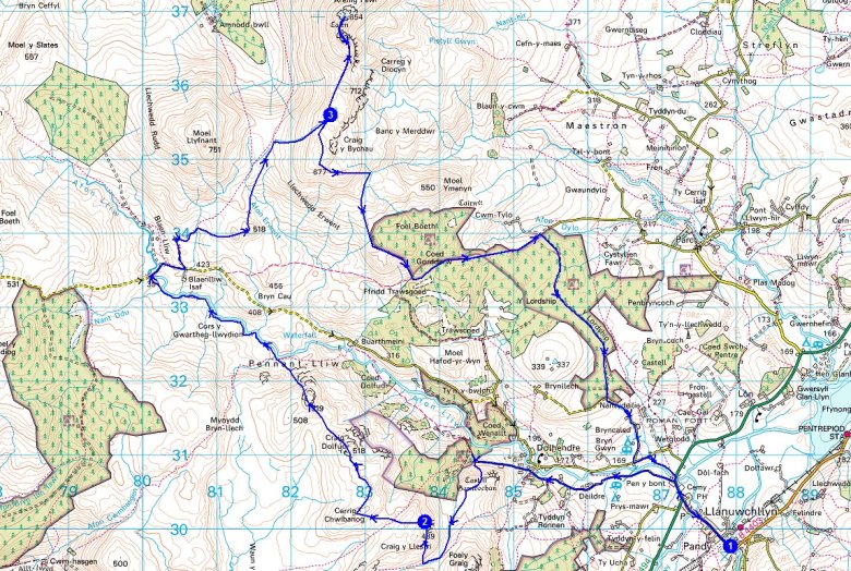
Here is a full map of the route we walked in the end, our wild camp spots are marked as points 2 and 3.

Day 1 (evening) – 4 miles with 330 metres ascent

Leaving was delayed by an hour as a curry was needed to fuel us for the drive to Wales.  The Indian community centre in Nottingham serves up a lovely thali for £3.70 (curry, dhal, rice, salad, chapati, curd and desert) at lunch times.  Well worth a visit.

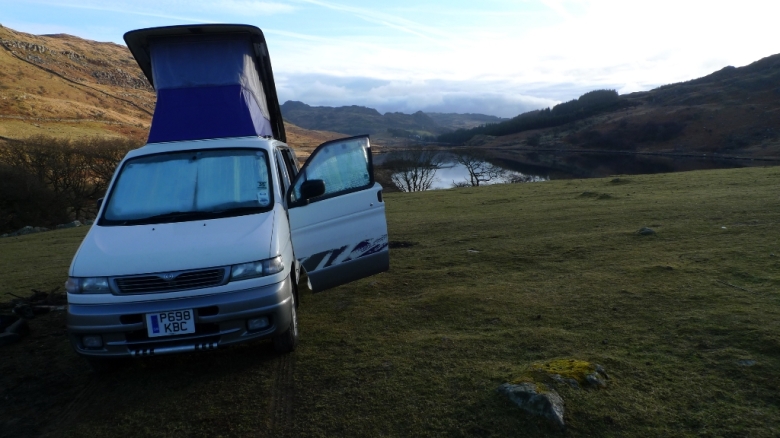
We arrived at Llanuwchllyn at about 5.30pm and parked up in the deserted car park at the far end of the village.  I could have parked nearer on the lanes around Dolhendre but I fancied the security of leaving the Bongo close to houses.  Llanuwchllyn is a long strung out village and it is a fair walk back to the main road where we picked up a minor lane that leads to Dolhendre.  Near to the lane that crosses the river there was a bit of a commotion going on with loads of parked vehicle and big group of kids and adults.  We left the noise behind and continued ahead with the lane soon turning into a track.  We stood for a while looking at the very brown raging stream of the Afon Fwy and did not notice until we turned around that the large group was now heading up the track we planned to follow.  There must have been at least 30 in the group, half adults and half very energetic children.  We got tangled up in the middle and stopped to let everyone pass, as soon as they passed us they stopped.  We resigned ourselves to walking in the middle of a large crowd.  More akin to being in a shopping centre than a damp Welsh hillside at 7.00pm on a Friday evening!  It was obvious that they were heading for the ruins of Castell Carndochan where we had planned to camp.  Instead we continued along the track (not marked on the map) further along the ridge to look for a spot for the tents.  Unfortunately the green grass was covered in thistles and we realised that there were cows fenced in with us.  Time to continue ahead and hope a reasonable spot turns up.

As we headed up the banks of the Afon Fwy the ground turned to saturated bog and then deep heather and bracken.  The bridge marked on the map actually existed but was a risky affair made of very rusty corrugated iron.  We got across safely but began to despair of finding a place for the tents, the ground was either bog, deep heather or tussocks.  To add to the bleakness and the sense of despair it started to tip it down with rain.  After a bit more rough walking we gave up with the valley bottom, filled our water bottles and headed up hill.  Thankfully we found a patch of soft springy grass that was nearly flat and got the tents up.  There were great views that evening of clouds sweeping across the valley below.  During darkness streetlights twinkled below giving a feint orange glow.  I slept well that night.

Day 2 – 8.3 miles with 780 metres ascent

It was a wet night and still raining in the morning when I got up and cooked breakfast, the hills on the other side of the valley were hidden by a cap of cloud.  The weather forecast had promised sun by late morning but it looked pretty doubtful.  We packed away wet tents that morning.  The plan was to walk the high ground on the west side of the Afon Lliw which would take in a couple of Dewey tops.  Approaching Cerrig Chiwibanog we were passed by a flock of newly sheered sheep who looked uncharacteristically white and clean.  The rocky summit of Dduallt was now clear across the vast expanse of bog called Waun y Griafolen.

The rough summit had a fenced off area which had a large patch of flowers surviving amongst the bleakness.  Anyone able to name them?

We found it easier to follow the eastern edge of the wide ridge where the terrain was less tussocky, the route ahead was punctured by well built old cairns.

Although it was now far from sunny the weather had improved dramatically and the high peaks of Arenig Fawr and Moel Llyfnant were now clear of cloud.  We had our fingers crossed for a sunny evening relaxing on the south ridge or Arenig Fawr with wet tents drying out in warm sunshine.

Just before the last minor summit of Craig Dolfudr north top there was a good view showing just how vast the bog of Waun y Griafolen really is.  It is not area I would like to cross on a wet misty day!

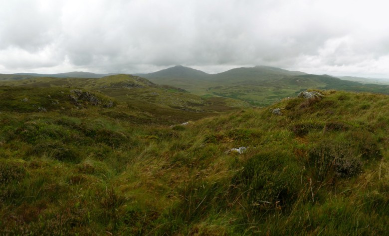
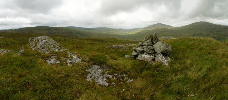
The grassy summit which has a small cairn gives a wild and rugged panorama and we could see the length of the upland valley we would be walking up, the next couple of miles would be either very flat and easy or a land of frustrating bog and vegetation.  It’s hard to tell these things sometimes just by looking at a map.

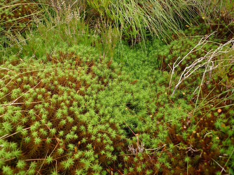
The first section turned out to be a bit of a nightmare.  The terrain soon turned very heathery with large springy patches of spagnum moss, which is pretty interesting when you get down close to it.

The further we descended the deeper the heather got, at times it was up to our waists and the steep slopes hid many holes among the vegetation.  Progress was slow although the surroundings were very scenic with all that plant life, small trees and outcrops of rock.  We were glad to finally arrive on level ground.

However the ground beneath our feet got no better and after deep tussocks our way was blocked by quaking bog, the ground wobbling all around like a giant blamonche.

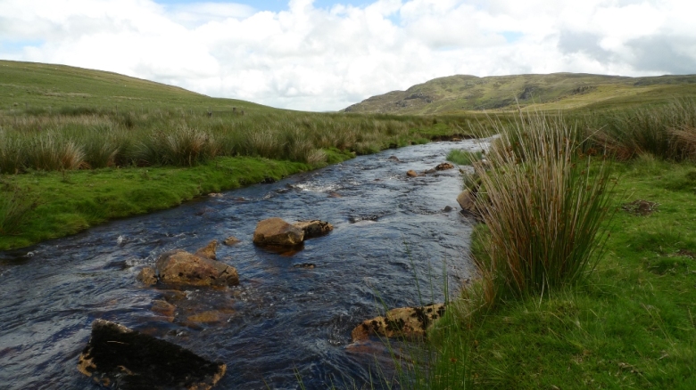
Finally after following the river bank for a few hundred metres we found ourselves walking on beautifully cropped grass and the going was easy following a great upland river.

We soon intersected a narrow mountain road which enabled us to cross the deep fast flowing river and start the long climb up Arenig Fawr.  Being an ardent peak bagger I could not resist the small rounded top of Foel Ystrodur Bach which is listed as a Dewey.  Steep grassy slopes alongside a small stream meant we quickly gained height, filling up our water at the head of the stream.  The south ridge of Arenig fawr is a wide complex affair with lots of small tarns and rocky outcrops.  We pitched our tents with a bit of shelter from a small rise and left them to head to the summit.  We climbed a fair way before my eyes could no longer make out the tents behind us.

The sun finally came out on the cold windy summit, giving a fine evening glow to the surrounding hills.
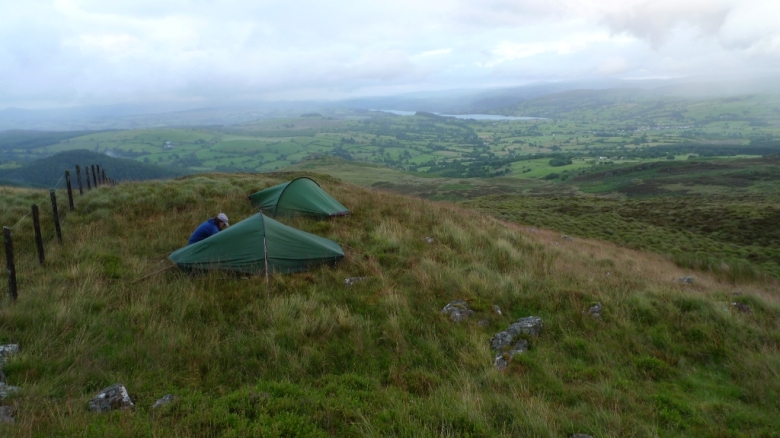
It was nearly 9.00pm by the time we got back down to the tents and our stomachs were in need of food.  Due to the lumpy terrain we were pitched a distance apart so we said our good nights before snuggling down to fill up with hot food and drink.  It turned out to be a pretty chilly evening for the time of year and I sat and watched the clouds lower over the summit.  By the time that it got dark the tents were enveloped by hill fog.

Day 3 – 6.8 miles with 100 metres ascent

The previous night I probably had one of the worst nights I have had in a tent.  It was windy when we pitched up our tents and when darkness fell the wind dropped as well.  However during the night the wind increased and increased until the flapping of the tent made me a little nervous.  I managed to doze and then woke to find myself strangely hot and clammy.  Now as well as the wind the tent was being battered by hard pellets of rain.  The temperature and humidity had risen sharply and things felt damp with condensation.  My waterbottle looked like it had just been taken out of the fridge into a warm room.  If I had been on my own I would have probably packed up at 4.00am and walked back to the van.  I did not think Rae would have appreciated being woken at that time of day!  My worry was of being engulfed by a thunderstorm on this exposed spot.  A couple of experiences of storms in the hills have given me a bit of a phobia of them when exposed.

Finally at 7.30am I just wanted to get up and move, the weather was getting even worse and something did not feel ‘right’.  I braved the wind and rain and walked to Rae’s tent.  I was surprised to find that less than 50 metres away her tent was only exposed to a gentle breeze.  I woke her to find that she had had a really good nights sleep and the wind had been light all night!  Somehow a small rise in the ground had deflected the wind over her tent.  I explained that I was nervous about a storm approaching so we packed up without breakfast and by 8.00am were walking into the full force of the wind and rain.  The far southern end of the ridge was a horrible boggy moras, quaking ground that with all the rain threatened to swallow up us whole.  Navigation wise it would probably have been easier to take a southerly bearing and head directly off of the hill, but the force of the wind would have made it very difficult.  We continued east before descending into a wide boggy bowl.  We were relieved to see the outline of the forest loom out of the mist.

We soon reached the track that leads east into Coed Gordderw and then forced ourselves off path deep into the dark gloomy shelter of the pines.  Dripping we got the stoves on and had coffee and noodles, with wet hands it was a struggle to get lighter and stoves to light.  We were wet, very wet and I realised that my trousers under my waterproofs were soaked, leading to very damp underpants!

Leaving the damp stillness of the trees we continued along the increasingly disappearing and waterlogged track until we finally emerged into a field full of very frisky bullocks.  They were young hooligans running along side us and we had to do a bit of shooing to get them to move away.  It was with relief that we got safely on the other side of a fence!

The track through Y Lordship was a narrow overgrown delight for the first kilometre or so, with the warm humid rain and low cloud all the vegetation made it feel almost tropical.  However we were soon on the usual wide forestry track before the final road stomp back to the car.  It was with relief that clean and dry clothes were put on.

June 9, 2010

Backpacking the Rhinogs – a south to north traverse

by backpackingbongos

It has often been said that the Rhinogs give the toughest walking outside of the Highlands.  After spending three days of the May bank holiday backpacking across them I have to say that I agree!

It is many years since I did a traverse of the Rhinogs range.  Even then I ‘cheated’ somewhat by omitting the badlands of the middle section from Clip to the Roman steps by dropping into Cwm Bychan.  I have been wanting to get back ever since and traverse the whole lot, a mere twenty miles or so.  Two days are not quite enough time to get to Snowdonia and back and walk that twenty odd miles.  These are not ordinary miles, they are Rhinog miles!  Rhinog miles include waist deep heather, ankle snapping boulders hidden in deep heather, ankle snapping holes hidden in deep heather and then there are those ‘canyons’ to contend with.  It would also not be much fun stumbling around in those rugged hills when the mist is down.  Thankfully a bank holiday coincided with almost perfect weather, a couple of friends were free and a plan was hatched.

Day 1 – 6.8 miles with 950 metres ascent


To make the most of the Rhinog ‘ridge’ we decided to park up in the village of Trawsfynydd and catch the bus down to Llanelltyd.  Because Trawsfynydd is just off of a main road the buses are pretty frequent (although it is a little anoying to arrive just as one is departing).  It’s during the bus journey that you realise that Llanelltyd is over 200 metres lower than Trawsfynydd and the days walking will be starting at sea level.  We followed the sign indicating the ‘New precipice walk’ and started the ascent in earnest, hot work in the cloudy and humid conditions.  The path finally levels out for a bit as it reaches the shore of Llyn Tan-y-graig which was like a dark mirror hidden in the trees.  It was here that I managed to pick up my first tick of the year, found crawling across the back of my hand.  Nice.

After more steep climbing through the trees the path finally emerges and provides stunning views.  For the next mile or so is one of the best paths I have ever walked with regards to its effort to view ratio.  A totally flat grassy path contours the hillside with the Mawddach Estury almost 1000 feet below to the left.  A sublime walk and one which I wished could go on forever.

As we rounded the shoulder of the hill we could see ahead the southern most part of the Rhinogs with Diffwys drifting in and out of the cloud.

The next mile or so down into Cwm-mynach took absolutely ages and the route finding was extremely complex and with a lack of waymarking especially when it was really needed.  However whenever we turned around there was Cadair Idris giving a good solid mountain background view.

The road along the valley bottom gave way to forestry track as it started it climb.  There was a path marked on the map which climbs through the cliffs towards Diffwys, which we initially failed to follow in the right direction.  We managed to find where it started but a fallen tree was blocking it true direction, we blindly went off into the woods in completely the wrong direction whilst convincing ourselves we were on a path.  After crashing through the undergrowth we were finally on track along a perfectly engineered path through gradually thinning forest until the wilds of the Rhinogs began to show itself.

The way the path was built indicated it must have been constructed for the use of miners and as it wound its way up the hillside only a few feet at a time would be revealed through the deep heather.  Behind us the isolated mountain of Y-Garn got smaller as we gained height.

As we were getting towards the top the weather closed in, the cloud dropped and it started to rain.  It was a grey swirling world that greeted us when we reached ‘the great wall of Rhinog’.  A damp trudge down to Llyn Dulyn to camp for the night.  Unfortunately Graham was a bit more eagle eyed than I was and bagged the best looking pitch right next to the lake, mine was a good 50 metres away and a bit more rugged.  However he must have lost Karma points as when the wind picked up their tent was punished whilst mine had been pitched in a nice sheltered spot.  There was no socialising that evening with dinner being cooked in individual tents whilst the rain drummed on flysheets.

Day 2 – 6.4 miles with 990 metres ascent

It was a slow start in the morning as Graham and Rae had been kept awake most of the night with tent touching nose.  At least the wind dried everything off as the morning started to brighten, and I had the opportunity to soak up the views without getting soaked.  Llyn Dulyn occupies a high bowl in the hills and it great to be able to start the day at nearly 550 metres.

It was nearly 11.00am before packs were on and we were ascending Y Llether with views back towards our campsite.

We soon met again with the ‘great wall of Rhinog’ a great piece of engineering which marches across the hills for miles.  This was followed to the flat short cropped grassy summit which would be a great place to camp on a less windy day.

Following the wall north we were suddenly greeted with a view of the ruggedness to come.  For some reason the character of the landscape changes immediately from easy grassy slopes to a riot of rock, bog and heather.  A steep and loose path leads away from the wall and heads down to the jewel that is Llyn Hywel, probably my favourite mountain lake in Snowdonia.  The path contours above the lake to the right where giant slabs plunge down into its depths.  We sat for a while whilst Graham did a little easy angled bouldering.

The ascent of Rhinog Fach looks steep and daunting from the lake but it is much easier than it looks with a good path all the way.  It is a bit of a pull but the views behind more than make up for it.

From the summit the view north is blocked and dominated by the higher Rhinog Fawr.  What is not so apparent from here is the huge descent and reasecent in between these two very steep and rugged hills.  We found our way off Rhinog Fach by heading north and just before the minor summit descending to the west on a narrow path through the heather.  This joins up with a bigger path which we were able to follow to Llyn Cwmhosan without any difficulty.  All the while the next big Rhinog was taunting us!
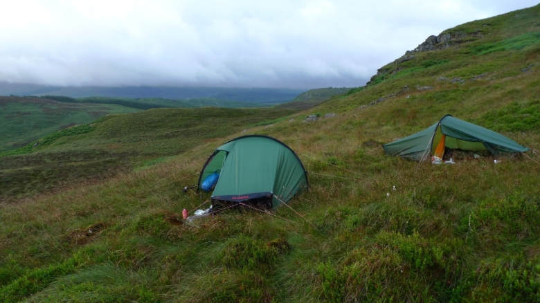
During our descent we had been watching a couple struggling along a steep boulder and scree traverse through broken cliffs and heather high up on Rhinog Fach.  They took an absolute age to descend down to the lake where we sat having lunch and throughout their descent we often commented that we were glad we were not in their shoes.  It really did not look fun.  The weird thing is that when they passed us the guy puffed up his chest and started boasting of the amazing route down they had taken.  He then began asking us if we had seen their descent.  The conversation was a bit of a non starter as we did not act suitably impressed, so he strode purposefully off.

Throughout lunch we kept eyeing up the opposition trying to work out the best way up.  We could just about make out a very steep looking path almost opposite us, so decided to give it a go.  It turned out to be a good decision and although it was very steep it gave some entertaining easy scrambling and it was one of those paths which only reveal themselves a few metres at a time.  The views down were stupendous.

The path off of this hill was much more defined than the previous descent and we were often in awe of the geology that surrounded us.  One cliff was full of faces that resembled the figures on Easter Island and the cliff face had a strangle wave like appearance.

Somehow between Llyn Du and the Roman steps we lost the path and found ourselves crag bound with the security of the Roman Steps straight down below us.  Some hairy traversing along and between cliffs brought us to the summit of the Roman steps where we had a decision to make.  It was getting late, we were tired and we had run out of water.  It was decided that we would make towards the head of a stream a kilometre to the north.  Although tired and getting very thirsty, the terrain over that kilometre was some of the most spectacular and rugged I have walked across.  However my top Rhinog tip is to stick to the highest ground where there is a feint path which leads you along without much difficulty.

The map does not make it very obvious but the whole area is dissected by deep canyons which you have to descend in and out of.  However don’t lose that narrow path and all will be ok if you come this way!

The final canyon was the head of the river valley we planned to camp in.  We followed it down to where water was marked on the map, we could hear it under the rocks but there was no way to get to it.  We continued to descend with me in the lead when suddenly I disappeared down a combination of a steep slope and a hidden hole.  A six foot drop / slide and my leg was racked with agony, I yelled thinking that something was broken.  Thankfully it was not but I struggled to put any weight on it and I could not stand with my pack on.  Graham and Rae scouted on ahead for somewhere to pitch and water which was found about 50 metres ahead.  It really was a rubbish place to camp with hummocks and deep heather.  However I could barely walk and it was getting dark.  It had taken us nearly 10 hours to walk just over 6 miles.

Snuggled in my sleeping bag my leg was hurting and I was afraid to move it or it would start to cramp.  Soon after dark it started to rain, fat heavy drops beating down on my Akto.  The sound started to change making a wet sliding noise, I stuck my head out of my tent and it was snowing heavily and settling all around me.  It was May!

Day 3 – 8.1 miles with 510 metres ascent

It dawned bright and sunny and the snow soon melted, however it took a while for the sun to actually reach us as we were surrounded on all sides by steep slopes.  Somehow my pitch had been a lot more comfy that it at first looked, heather makes a nice soft bed once it has been flattened.  Once again we had to pitch a good 50 metres apart.

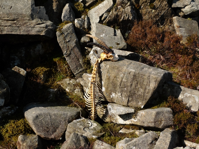
On the way back up the canyon we passed the only sign of the wild goats that live in these hills.

Once picked up again we made sure that we did not lose the narrow path as it went up, down and around small summits and bogs to Craig Wion.

A detour to the rocky top of Clip gave us the best view of the whole weekend, down to Cwm Bychan and the sea beyond.  We could see the route we had taken across the wild canyon lands and beyond.

The path continues to head reassuringly on northwards to the last peaks of the Rhinogs which rise above the 2000ft contour.  The further north you go the grassier and easier the terrain becomes.
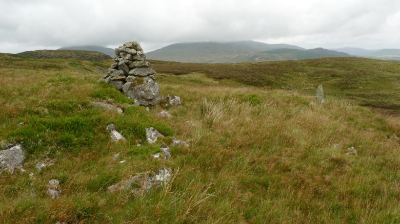
The trig point on the summit of Moel Ysgyfarnogod gives fine views north to the main Snowdonia peaks.  We sat for a while trying to name as many as possible, Snowdon itself being a good reference point.

The cliffs leading up to the summit of Foel Penolau are much bigger than the map indicates.  In the picture below you can make out Rae on the bottom right and Graham ascending.  They give some nice easy scrambling.
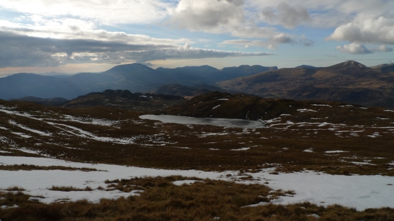
The original plan had been to continue along the ridge to Moel Gyrafolen but time was ticking away and we had a long drive home.  We descended to the south and picked up a track which led to a minor road down to the dam of Llyn Trawsfynydd.  The vast size of the reservoir coupled with a strong wind made it feel like you were next to the sea, there were even oystercatchers along its shore.  We then crossed the extraordinary bridge across an arm of the reservoir and took a lane back into civilisation.  As we turned and looked back one last time at the rugged Rhinogs a farmer mending his dry stone wall told us a story about the hills we had crossed.  It involved breasts.


March 13, 2010

Backpacking the Moelwyns from Blaenau Dolwyddelan

by backpackingbongos

It is a dangerous game watching the weather the week before a backpacking trip, especially if you have not decided where you are going.  Each day brought a different forecast and indecision loomed.  I had fancied another trip to the Southern Uplands but there was meant to be a lot of snow on the hills, I did not want to lug around an ice axe and crampons.  A stunning forecast on the Sunday for Snowdonia gave me some focus.  Luckily I already had a two day route in the Moelwyns worked out in my head.

I picked up Rae at lunchtime on the Friday and we bimbled across to Snowdonia.  I needed a new pair of gaiters as mine have had many run ins with barbed wire fences and pennine heather, so a stop off in Betws-y-coed was called for.  I failed to find any that I fancied but did manage to buy a pair of the new Paramo Velez adventure trousers whilst Rae got some Terrocs for a bargain £30.

The plan was then to spend the night in the Dolgam campsite down the road, but on arrival found it was right next to the busy A5 so decided to move on.  I had a vague notion that there was one just past Plas y Brenin above the lake.  I was correct and we decided to spend the night at the very rough and ready site at Garth farm.  Probably the only campsite I have stayed at where there is not one single flat area!  However the situation made up for it with a very alpine Snowdon behind us and the twin lakes of Llynnau Mymbyr to the front.  I had a very nice comfy bongo sleep whilst Rae had a slightly damp Hilleberg Akto sleep!

Ok let’s get on with the backpack, here is a map of the route if you fancy a look.

Day 1 – 7.2 miles with 730 metres ascent

The van was left at the end of the narrow road through Blaenau Dolwyddelan, meaning that we could start the walk right in the heart of the mountains.  The sun was shining and the wind was light in the sheltered valley, it was good to be heading into the hills for a couple of days.  We took the bridleway passing through the farm at Coed Mawr which gently wound its way onto the shoulder of Yr Arddu.  The comfort of the track soon had to be left to squelch onto the main ridge.  Whilst getting our breath back there were great retrospective views back towards Moel Siabod.

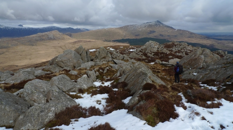
Yr Arddu is a long rocky ridge of many false summits, each time we thought we had made the top there was another rise in front of us.  The summit cairn was a great view point giving a different perspective on one of my favourite hills, Moel Meirch across Cwm Edno.  I was very surprised and slightly alarmed at the amount of snow covering the hills around Moel Druman and Allt-fawr.  We would need to traverse those slopes tomorrow, what would the higher Moelwyn Fawr be like?  We had no ice axe and crampons with us.

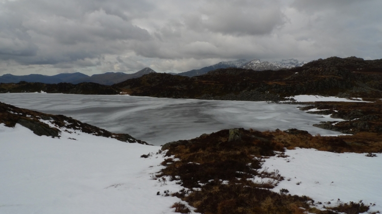
We crossed rough and boggy ground to the splendidly situated Lyn Edno, which was still fully frozen.  I had been hoping to be able to sit and have lunch here whilst basking in sunshine but the weather was not playing ball.  Instead we sat on the rocks whilst watching the clouds skud across the grey sky which was reflected in the rather grey ice.

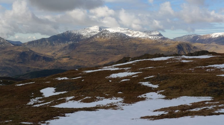
Climbing the slopes of Ysgafell Wen the sun broke through the clouds illuminating the snow covered Snowdon group and the Glyders, with the totally white Carneddau bringing up the rear.

The cluster of three lakes called Llynnau’r cwn take up one of the best positions in the whole of Snowdonia (well in my opinion anyway).  One day I will camp there.  We threaded our way between the highest of the two, still frozen and partially snow covered.  Snowdon providing a perfect pyramid in the col.

It has been many years since I climbed Cnicht and I fancied another ascent which would give the opportunity to explore Llyn yr Adar which I have read is a very popular wild camping spot in the summer.  Its frozen shores were deserted today and the shoreline was a boggy morass of melting snow and squelchy spagnum.

Starting the climb onto the ridge of Cnicht our greetings were totally ignored by the first people we had seen all day.  At least their dog was friendly!  The views really began to open up and Llyn y Biswail looked like an inviting place to explore.

Completely deserted the final few rocky tops of the ridge make a great walk with steep slopes falling away on either side.  In front is a view of mountains and the sea which in the pinkish light could have been the west coast of Scotland.

Moelwyn Mawr still had a good dusting of snow but we could see the line of descent we would be taking the next day was snow free, fingers crossed that it would be the same ’round the back’.

We retraced our steps towards Llyn yr Adar and took the right of way south east which we promptly lost soon after crossing Afon cwm-y-foel.  I can remember crossing this area in mist years ago and finding the way difficult though the many bands of low cliffs.  Luckily the clouds were above the tops but were beginning to look more and more menacing with the odd spot of sleet in the air.  As we approached Llynnau Diffwys the clouds lowered over the hills, the wind picked up and it started a cold icy sleety rain.  Typical just as we wanted to get the tents up!  Dinner was cooked that evening in individual tents rather than sitting outside and admiring the view, even though the rain cleared it left a damp chill in the air.  I had a repeat of the stomach problems soon after eating my freeze dried meal that I had on my last trip, time to start dehydrating my own food again I think.  Finally wrapped up in down I lost myself in a book for a few hours before drifting off to sleep.

Day 2 – 10.8 miles with 960 metres ascent

I woke just after dawn with that full bladder feeling.  I checked the temperature on my watch, it was minus 5 celsius inside the tent next to my head.  It would be fair to assume it was much colder outside, especially with the breeze.  The inner tent above my head was frozen solid, so rather than sit up I slid further into my sleeping bag and got another couple of hours sleep.

Meths is not the easiest thing to light in sub zero temperatures and I had to warm up both my lighter and meths before getting it finally to light.  However once going there is no problem, with a brew silently and slowly coming to boil.  My boots were completely encased in a thick layer of ice and were totally unbendable.  It took a fair bit of effort to get my feet into them and even after dancing around (not in the literal sense) I could not get them to give.  Instead they would just have to suck all the warmth out of my feet!  I stood there in wonder with a mug of coffee in hand taking in the stunning views, it really was an amazing location.  Just a shame my feet were cold!

All packed up we headed past the twin lakes on a contouring course towards Bwlch Rhosydd where the aim was to get to Croesor quarry without too much descent and reasent.  We managed it, all the time drinking in the views bathed in early spring sunshine.  The plan now was to get round the back of Moelwyn Mawr, contouring round the hillside to pick up the miners track that leads to the disused quarry below Craigysgafn.  It all started off well until we came across the first snow patch which was on steep ground and was hard as rock.  There was no way that we could kick steps and a slip would probably hurt, a lot.  Luckily there was a wall below us to offer assistance in standing upright and with the occasional bit of bottom shuffling we reached the West ridge of Moelwyn Mawr.  It was here that we picked up the splendid miners track, completely level, grassy and with stunning views.

The original plan had been to nip up Moelwyn Bach but the path ascending its steep nose was covered in snow and in deep shadow.  It would have to wait for another day.  Instead a leisurely lunch was had on the slopes of Craigysgafn before ascending its rocky western slopes.  It’s a great peak with some nice rocky bits to clamber over.

The ascent of the grassy Moelwyn Mawr in the sun made it feel like summer and for the first time this year whilst out walking I took off my Paramo.  Even in just a base layer I was breaking out into a sweat.

However the effort was worth it as the view from the trig point was a stunner, the blueness of the sky and the clarity of the air making it feel like distant mountains were almost within reach.  Even at this height there was not a breath of wind and with the sun beating down it definitely did not feel like Snowdonia in early March.

Looking to the north it slowly dawned that we had a fair way to go to get back to the van and the day was getting on.  Steep slopes descend to the north before ascending the minor north top.  Complex ground then leads down past the Rhosydd quarry to the old barracks below.  This is an atmospheric place, even under clear blue skies.  I have been here a couple of times when low cloud is skudding across the tops of the buildings, the area has felt almost creepy then.

A narrow path leads north from the disused quarries across a boggy area with good views back to the main Moelwyn peaks.

Leaving the path easy grassy slopes brought us to the shores of Llyn Conglog which was still frozen solid despite its large size.  Another lake that I would love to camp next to one day!  Strangely this area had a lot more snow than any we had walked though in the last two days, Allt-fawr still being totally covered in snow.  Already in the areas sheltered from the lowering sun frost was beginning to form.

Since the beginning of the backpack I had been slightly anxious about crossing the snow slopes beneath Allt-fawr without crampons.  We eneded up picking a relatively shallow slope across to Iwerddon which made the going easier, although care still had to be taken.  The snow was rock hard so we sought out the tussocks that were sticking out in places.

The ridge of Iwerddon leads down to Llyn Dyrnogydd which is spoilt by new looking electricity pylons.  Moel Dyrnogydd stood in the way of the van so was climbed.  I am glad we did as we were treated to a winter sun descending and turning the surrounding hills pink.

We picked up the old miners track that had come from the Crimea pass and contoured round the hillside on it so that we could pick up the right of way.  However there was no sign of that right of way across the tussocky moorland below.  It was getting dark.  We gave up looking for it and continued down the track until we came to the air shaft that serves the railway in the tunnel below.  It was now very dark and the map was consulted by torchlight as we had lost the track.  For some reason this area is awkward being split over various sides of maps, we had to get two out and lie them side by side on the ground to make some sort of sense of the darkness around us.  Thankfully we located the track and descended by headtorch listening to the hidden stream crash down into the valley.  All was well until we passed through Hendre farm and got a bit lost, waking up what sounded like every farm dog in Wales.  I always find farms difficult to navigate through at the best of times!  After backtracking out of a dead end courtyard we were soon back on track and at the van which had been waiting patiently for us.

March 8, 2010

Squeezing every minute out of a weekend backpack

by backpackingbongos

I write this in a daze of tiredness, today at work has been a hazy fuddle.  I arrived home last night at 12.30 am after a superb weekend backpack around some of my favourite mountains and lakes.  Sunday was one of those days in the hills that is almost too perfect.  Snow on the ground, blue skies and the spring sun making it feel almost like summer.  A day you want to drag out for ever, which we inadvertently did!  Was it too long looking at the views, a lack of fitness or not really taking into account that there are miles and then there are mountain miles?  The day was ended walking by torch light for a couple of hours, finishing in trying to work out how to get through a farmyard with lights coming on and what seemed like hundreds of dogs barking.  I can navigate off of the hills fine but through a farm?

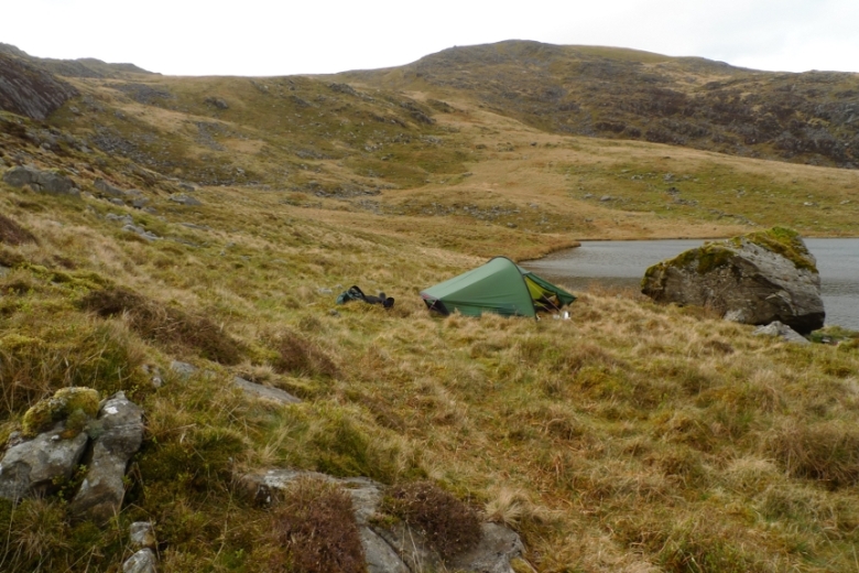
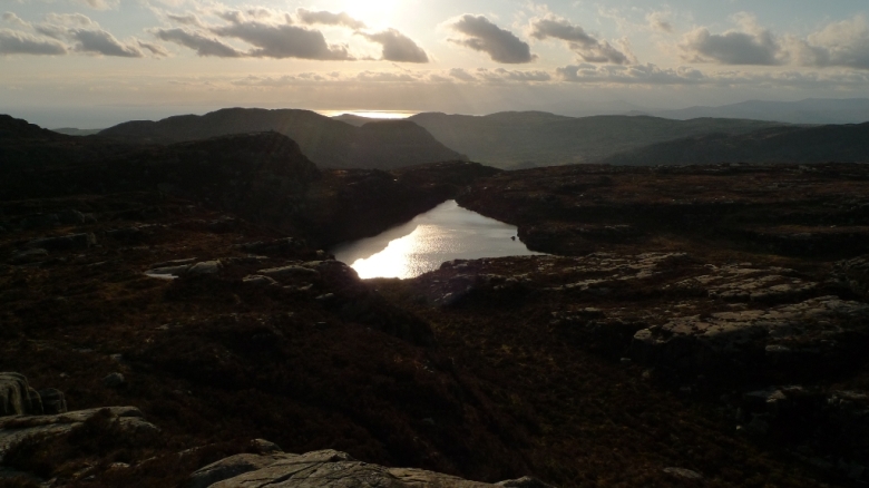
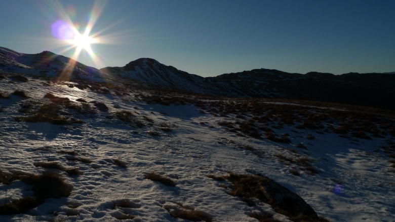
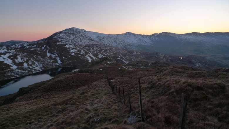
A stunning wild camp was also had, although temperatures really plummeted by early morning.  The reward was probably the clearest sky I have ever seen in the UK.

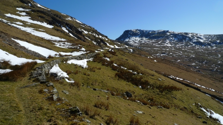
Anyone fancy a guess as to where the above camp is?  Extra points if you can name the two mountains and the lake!

A trip report later in the week.