Posts tagged ‘Wild camping’

January 18, 2011

Spindrift and snowdrifts in Wensleydale

by backpackingbongos

This weekend had been booked many months in advance with Rich who had obtained a weekend pass from his wife.  The problem with booking backpacking trips so far in advance is that you have no idea what the weather will have in store for you.  The forecast in the lead up to this backpack was not promising to say the least ,with gale force winds and heavy rain being threatened.  The reality for once was much better with classic winter conditions up on the moors during the second day.

The map below shows most of the route for the weekend.  Our overnight halt has been excluded, for reasons that will become apparent later on.

Day 1 – 11 miles with 580 metres ascent

The car park in Askrigg did not fill me with confidence, as sitting in the middle of it was a car that had seen much better days.  It was probably down to an accident but gave a strange feeling of edginess more akin to my inner city living.  It looked like it had been the victim of joyriders.

Geared up we headed down the high street and took the lane towards Mill Gill, covered in a layer of refrozen slush.  A group of chickens were waiting by someones front door perhaps waiting to be fed, surrounded by antique looking garden equipment.  A scene of perfect rural idyl located on a residential street.

The waterfall at the head of Mill Gill was a totally unexpected treat with a large volume of water thundering through a cleft in the rocks.  As good as most in the Dales yet one I think is pretty much off the beaten track.  Even though the thaw had been in place for a couple of weeks now there were still large amounts of ice covering the rocks in this secret little valley.  With lower water volumes I would be surprised if this fall had not at least partially frozen over.

Further upstream the river becomes Whitfield beck, another deep valley hidden amongst the fields and full of mature beech trees.  A path on the west side climbs steep slopes high above the river and it was here that I felt warm liquid dripping off my fingers.  It turned out to be my own blood, probably done when grabbing at some grass stalks whilst walking along.  A tiny cut but the blood got everywhere.  I was glad to have a small first aid kit, something that would be easy to overlook.  Whitfield Gill Force was another powerful waterfall but it was difficult to get a good view as it was far below the end of the path.  Retracing our footsteps to a foot bridge we crossed the river and made our way up to Low Straights Lane.  To say that this was treacherous would be an understatement as snow had melted and then refrozen into sheet ice.  It was hard work staying upright and we swapped from side to side seeking out any vegetation to walk on instead.

Safely reaching the lane above Askrigg we ascended the tarmac towards Arn Gill on what looked like a wet road.  It turned out to be black ice, almost impossible to stand up on.  Driving up or down its steep slopes would be lethal.  Arn Gill looks worthy of exploration but sadly has no right of way up it.  What it did have though was a good display of dead moles on the wall.

A sudden sound of gun fire got us a little nervous and we spotted camouflaged men in the surrounding fields waving orange flags.  Some people do have odd hobbies, especially if that includes waving flags in fields and arranging moles on walls.

We were glad to escape onto the track that contours at a mid level along the length of Wensleydale towards Castle Bolton.  This initially was another skating rink and as usual I was the one to come a cropper.  It is a pleasant five miles or so to Castle Bolton with views across the valley with Addlebrough being particularly prominent.  The skies started to get very dramatic, a combination of broody dark clouds with the odd ray of sunshine piercing through.

Above Caperby the track passes through low moorland on its way to Castle Bolton and the afternoon light started to come to an end.  As if like magic the broodiness of the earlier sky gave way to welcome pinks lighting up fluffy clouds, with the landscape slowly having the colour sucked out of it as darkness approached.

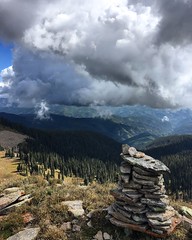
We sat for a while on a bench in Castle Bolton as the light faded, the huge castle looking foreboding on this winters day.  A bus pulled up on its way to Hawes and we resisted temptation to hop on it back to the van, excited to be heading for our destination for the night.  I had heard of a hut a couple of hours away that was open for use and we had the prospect of a fire and somewhere to cook and get comfy during the long night ahead.  In what direction we headed I will not say but it was fun walking in the dark by headtorch, stars shining brightly overhead but with more dark clouds lining up on the horizon.

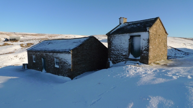
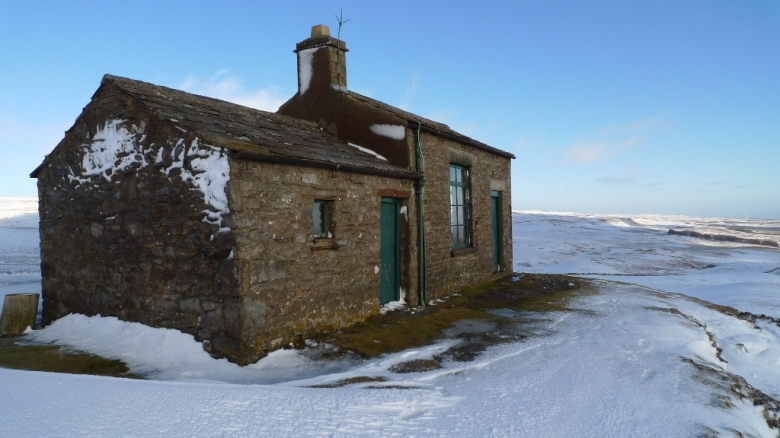
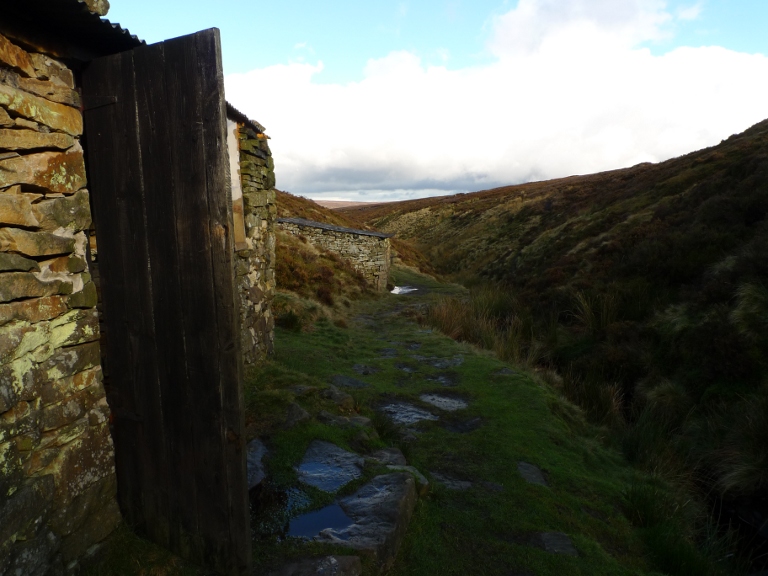
I always get the same tingling of excitement when approaching bothy accommodation and the following questions enter my mind.  Does the place actually exist?  Will it be locked?  Will there be other people there?  Out of the dark night two buildings loomed and my anticipation increased.  We approached the first and we stood at the door, willing it to be unlocked.  The latch clicked easily and the door opened to a small room with a table, loads of chairs, a sofa and best of all a fireplace with piles of coal and wood.  Success!

The other much larger building was explored and here we found a wood burner and more coal and piles of wood, there was even a flushing toilet.  To add to the charm of the place there was a welcoming visitors book.

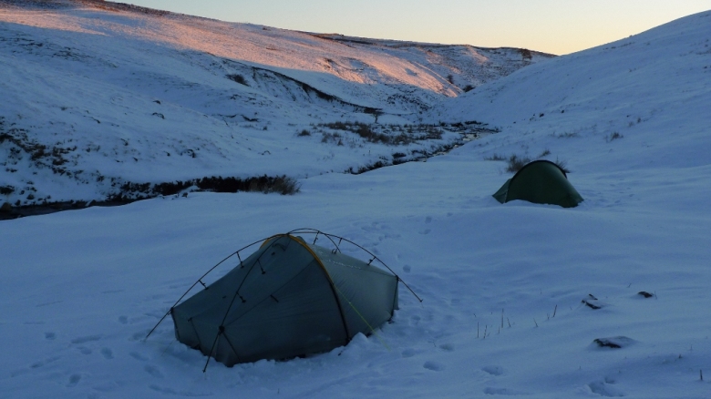
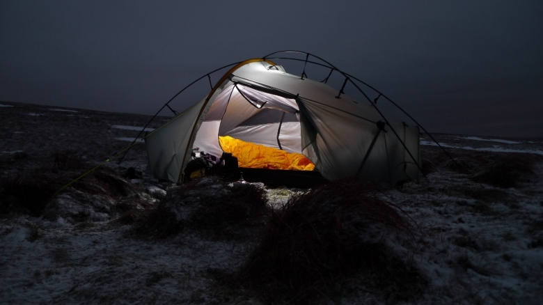
Wanting to camp we headed round the back to find somewhere suitable to pitch the tents.  Being much higher than where we had walked during daylight hours the ground was still covered in a couple of inches of snow and was frozen solid underneath.  We struggled for sometime to finally get the tents up, pegs having to be shifted around to allow penetration into the hard ground.

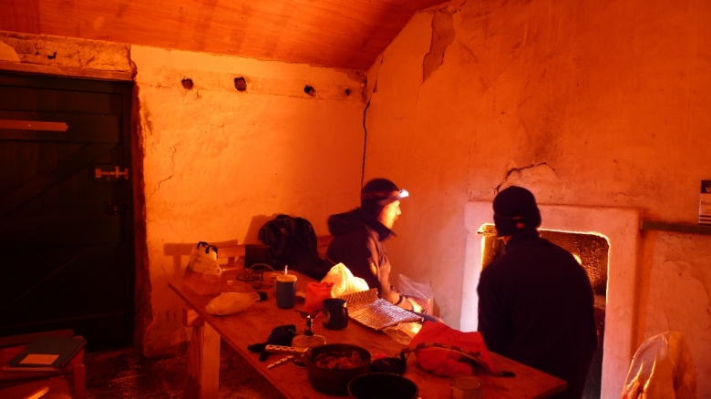
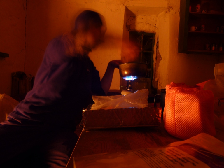
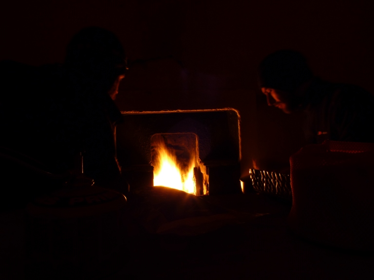
With numb fingers and cold feet we headed to the smaller hut and soon had a fire blazing away.  There is something magical about sitting in a remote hut in the middle of winter with a fire warming your tired body.  We had the space to spread about and cook in comfort, luxury compared to the confines of a small tent.

I suddenly noticed snow on the floor near the door which had not been there when we entered.  Opening the door I was greeted by a swirling white world, the tiny snowflakes glistening like jewels, reflecting the light from my headtorch.  I stepped out and realised that at least an inch had fallen in the hour we had been in the hut, all traces of our previous footsteps now covered.

By 9.00pm we were tired and ready to retire to our respective tents, although it was a drag to leave the warmth of the dying embers.  Winter nights without artificial lights distort perceptions of time, it felt like the early hours already.  Crunching across virgin snow to our tents was magical, although getting into cold sleeping bags was not!

Day 2 – 7.5 miles with 270 metres ascent

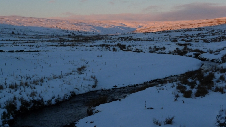
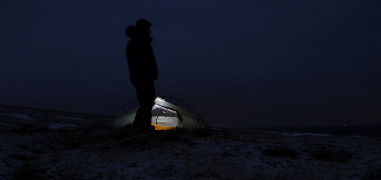
Dawn came late but had the courtesy to bring with it clear blue skies tinged with the pink of the rising sun.  Richard was still in his tent and my morning greetings were ignored.  I wondered around for a while, buried in my down jacket and took some photos of our camp and its surroundings.  It was a true winter wonderland.

I resorted to shaking Richard from outside his tent to wake him before returning to mine and packing.  It was cold work taking down the tent and retrieving the pegs out of the snow.  It was good to be able to stuff all my gear into my rucksack and take into the hut to sort at leisure.  A couple of cups of coffee and bacon noodles were consumed from the comfort of a table and chairs.  I kept popping out to take in the beauty of my surroundings.  I think that I will be back very soon!

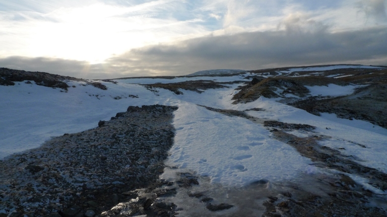
We are now magically back in Castle Bolton and heading north up the track towards Rowantree scar.  The sun is still shining from an almost cloudless sky but it is the wind that is the dominant factor up here on the moors.  It was tugging at our clothes and stinging our faces whilst shifting the snow about in clouds of spindrift.  However the going was easy as we followed the tracks of a vehicle that had recently passed this way.

At the 420 metre contour the track was left and the going became difficult with deep heather covered by snow.  Not my favourite type of walking as you can never be sure of your foot placement.  As usual I spoilt things by saying that at least it was not misty.  Within ten minutes our world was one of swirling white, without glasses for protection it was difficult to see with snow blowing directly into our faces.  I plodded along feeling a little sorry for myself.

As suddenly as it started it stopped, the clouds shifting away and leaving clear blue skies once again.  Pleasure was restored with a good firm track taking over, leading to the shooting house which dominates the horizon.

A great location if there ever was one, a sentinel watching over the bleak moors.  I have to admit that I envy the owners.

A drystone wall stretched off towards the horizon across more trackless moors.  We plodded along but no matter how far we walked when we turned around the shooting house appeared to be getting no further away.  It may have been the fact that the going was tough, or the clear air made objects appear closer.

Avoiding the tough heather we stuck to the wall which also brough difficulties in the form of deep soft drifts, although it was fun sinking nearly up to our waists and then trying to struggle free!

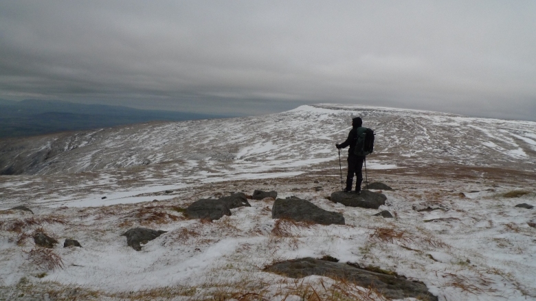
There appeared to be a contrast between the lower eastern moors and the higher western moors.  Here the snow was broken by heather, outcrops and drystone walls.  To the west the covering of snow appeared absolute, an unbroken white blanket smothering everything.  It may have been difficult going up above the 700 metre contour.

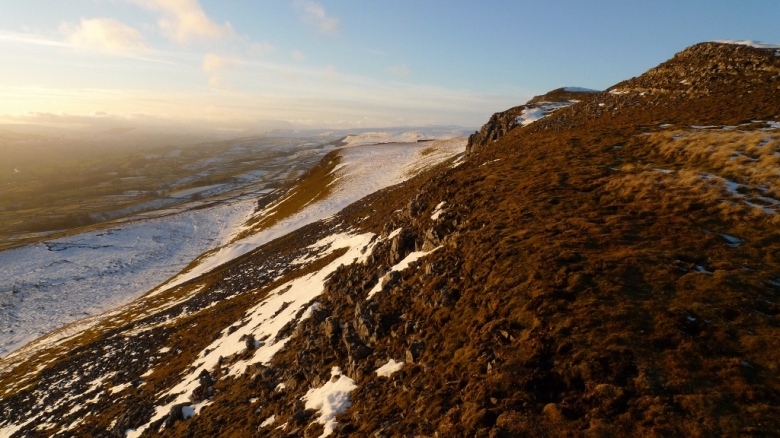
Ellerkin scar has been calling me from my map every time I think about a walk in the Dales.  I have to say that it did not disappoint and better still its short-cropped grassy slopes were nearly snow free.  The walking was easy and the views were breathtaking.  The sun was just starting a fiery display providing the ground with a warm glow.  We walked the high level promenade slowly taking in as much scenery as our eyes would allow.

To the west the steep slopes were still snow-clad and too slippery to walk on.  Rich being braver than me tested the possibility of becoming a human sledge, waterproofs being a good friction free surface.  It went well with no injury so I also gave it a go, what a huge buzz!

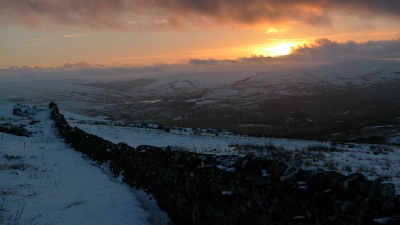
Just before the road back down into Askrigg was reached the sun did a final fiery assault on the sky before disappearing behind the clouds.  A breathtaking end to a magical day.

January 9, 2011

A wild camp in unexpected snow – winter rages on

by backpackingbongos

The backpacking count is going well so far this year.  Weekend number two and backpack number two.

Last night was spent once again on the Pennine moors, except this time the weather was less benign.  Gale force winds and heavy snow gave rather difficult camping conditions.  It is years since I last wild camped in proper deep snow.  It is good fun until in the morning you try to remove pegs frozen solid into the ground, then stuff  flapping nylon into a small stuff sack with really cold hands.  At least we had a snug little bothy to while away the evening by a blazing fire and somewhere to cook breakfast and pack properly out of the wind.

As usual a full trip report later on in the week.

Worryingly backpack number three is planned for next weekend…………..

January 7, 2011

A winter backpack across the roof of the Pennines

by backpackingbongos

The big plan to backpack the wild West coast of Jura between Christmas and New Year fizzled out with achy joints and fountains of nose juice.  Instead I moped around the house feeling slightly relieved that the weather had turned totally rubbish with day after day of grey skies and fog.  Then suddenly out of the blue there was a forecast of blue skies and frosty nights straight after New Year.  A plan was hatched, I would take this opportunity to camp on the summit of Cross Fell, something that has been on my to do list for a while now.

Luckily I awoke on New Years Day hangover free, the homemade elderflower champagne had done the trick, drunkenness without any pain!  That evening saw the Bongo camped next to Cow Green reservoir for a comfy nights sleep ready for an early morning attack of the hills.  Well that did not work as my iPhone alarm failed to go off pre dawn.  I awoke with a jolt and peered out of the windows at a completely frozen Cow Green with a backdrop of snowy hills against a cold grey sky.

Day 1 – 9.9 miles with 535 metres ascent

Garrigill is the sort of village where I would love to live.  Hidden deep in a fold in the Pennines, cottages huddle around the village green with a good pub at its heart.  Last time I was here the pub had closed down but thankfully it is up and running again.  Leaving the van by the green I was passed by an elderly gentleman in full tweeds and a splendid deerstalker hat.  He assured me that if the clouds lifted I would get a view of both the east and west coasts from the summit of Cross Fell.

I set off up the lane with tweed and hat envy, foregoing the pleasures of the river side path up the River South Tyne as I had set off much later than intended.  However the dead-end lane with no traffic was a pleasure to walk with the moors rising up all around me.  My peace was shattered briefly by a group of scramblers at the road end, the last sign of life for the day as I took the track towards the river’s source.  This is marked by a large sculpture, its plinth giving a good excuse to remove my pack and have a sit down.

Descending slightly into the next valley I entered an empty, bleak world of moor and sky.  This is about as close as you are going to get to wilderness in England, miles and miles of high empty moors.  Signs warn you to stick to the paths and tracks as the area is littered with disused mine shafts, many unfenced and hidden amongst the deep heather.  Crossing the Tees and heading up Trout Beck I came across an amazing sight, icebergs were laying strewn across the partially frozen river.  The temperatures in this high moorland bowl must have been pretty extreme a week or so ago to freeze such a large fast flowing river.  The past few days thaw would have been spectacular as the river tore itself up depositing dinner table sheets of ice high up on the river bank.

Further up a small set of falls had me transfixed with their winter beauty.  It would have been amazing to set up a camera to capture the river freeze and thaw over a period of a couple of weeks and then condense the footage into a couple of minutes.

My aim was to head up to the source of the river but first I wanted to investigate Moor House and check out the bothy there.  It turned out the bothy was firmly locked and for the use of the visiting scientists only.  However if you are ever in need of assistance in the area there is an emergency phone that you can dial 999 from.

Returning back to the river I went a little way up-stream and stopped by a ruin and did something I very rarely do whilst backpacking.  I cooked a meal and made a brew.  A great thing to do in the cold weather and it brought some warm into my body.

The track alongside Trout Beck soon becomes a feint path as you head further and further into the wilds.

As height was gradually gained the scenery became even bleaker and there was a dusting of snow, which with the steely grey skies made me feel like I was entering a monochrome world.

My plan for the day was to climb Great Dun Fell then follow the Pennine way north to the summit of Cross Fell.  Approaching the 750 metre contour of Great Dun Fell I became aware that darkness was nearly upon me.  The late start and a stop for lunch meant that there was no way I would reach my destination for the night.  I spotted a frozen spring in a hollow and breaking the ice determined that I could get some silty water out of it.  A flat bit of ground nearby helped make my mind up that I should set up camp.  It was only 3.30pm and it would soon be dark.

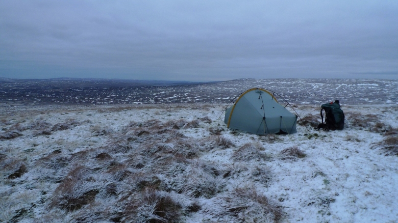
I had chosen probably the most exposed spot possible with open moorland spreading for miles in all directions.  However there was not even the slightest breeze and the silence was absolute.  The nights forecast was to remain like this so I thought that I would risk it, although the Scarp1 crossing poles were deployed, just in case!  The main difficulty I encountered was getting tent pegs into the rock hard ground, with re pegging and shifting about  necessary as softer spots were sought.

The only man-made structure visible from my tent were the strange ‘golf balls’ on the summit of Great Dun Fell, an object I am only used to seeing from either the M6 or the eastern Lakes.  There was also a ‘Currick’ a few hundred metres away that looked like a figure staring at my camp, slightly creepy!

Returning to my water source as soon as the tent was pitched, thick ice had already formed where I had broken through only minutes previously.  I could already tell that it was going to be a cold night!  I spent a while walking around taking photos until the cold drove me into my tent.  I got into my sleeping bag fully clothed for a bit to warm myself up.

The evening went, doze, cook, doze, hot drink, read for a bit, doze, hot drink, finish book before lights off at about 10pm, it was a long old evening!

Day 2 – 9.8 miles with 365 metres ascent

I had planned to be up and away before dawn but typically after such a long night I managed to over sleep.  Getting up and packing was hard in the sub-zero temperatures.  Even though my boots were wrapped in my jacket inside the inner tent they were frozen solid.  My water was also frozen and it took a while to bring it to the boil.  Strangely there was no condensation inside or outside my tent, it was bone dry even though there had been no wind.  All the moisture from my body had condensed on the outer of my sleeping bag, the chest, head and foot area being pretty wet.

Within minutes I was up on the summit of Great Dun Fell taking in the views across the Eden valley before setting off for Little Dun Fell, a much wilder spot.

I had to avoid the areas that had been paved with flagstones as they were covered by thick ice, although the bogs either side were easy-going being frozen solid.  Gentle slopes led to the edge of the Cross Fell plateau and I got a sense of how vast this fell actually is.  It is not somewhere where I would like to be during a full on storm with limited visibility.

From the trig there was a brief moment when the Lakeland fells were lit up by the sun but otherwise it was a cold grey world, although the air itself was exceptionally clear.  So much for the forecast of bright sunshine!

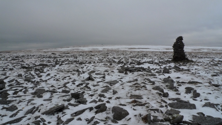
With such good visibility it was easy to cross the plateau without taking a bearing, heading for a prominent cairn that overlooks the vast rolling moors to the north.  There was a real sense of space up there, the line of the moors unbroken by any man-made structures.

Crampons would have been helpful to get me down the northern slopes, the old snow was as hard as iron and any slip would have seen me hurtling down at some speed.  I spent ages picking out bare patches of ground, zig zagging until the Bothy of Greg’s Hut was in view.

This has got to be one of the highest bothies in the UK, as it sits on the 700 metre contour.  I spent a night here a few years ago one late November during a snowstorm, spindrift being blown through the bothy walls.  The small amount of fuel we had brought for the stove barely warming the sleeping room.  I bet that snow falls upon its roof on many days through the winter.

There are two rooms inside, the first being decorated with prayer flags under the wooden beams.  With the painting on the wall it reminds me a bit of the lodges you get in Nepal.  The second room has a stove and sleeping platform and I sat in there for a while cooking couscous and drinking coffee whilst the strengthening wind blew through the eaves.

A notice on the wall said that it was 7 miles down to Garrigill via the Pennine way and I was keen to get back quickly so I did not get home too late.  As soon as I stepped outside I managed to slip on a hidden bit of ice and fell heavily on my knee.  As usual I feared the worse but after a bit of swearing I was up and inspecting the damage.  Only a bruise to me but I had managed to rip my new Paramo trousers.  Cursing I hobbled off taking more care on the march northwards.

The track to Garrigill is surfaced and hard on the feet.  The views remain good as it keeps above the 600 metre contour for several miles, this would be a serious proposition in a storm.  For the first time that weekend the sun started to make an appearance and by the time Garrigill was reached the skies were clear and the gritters were working the high moorland roads.

October 24, 2010

24hrs on Bleaklow

by backpackingbongos

This is one of those backpacks that has been planned and in the diary for several months.  It was last June since I last had an outing in the hills with Rich as that fateful weekend left him with a damaged knee.  Therefore a short gentle backpack not too far from home with an easy bail out was planned (Saturday afternoon we realised that Bleaklow can be far from gentle).

The Upper Derwent valley is a spectacular place within easy reach of many big cities.  This means that the area around the car parks can be rather overrun.  Fortunately many of these visitors are tied to their vehicles by an invisible umbilical cord meaning that the wildest most far-flung areas of the moors are pretty unfrequented.  Our plan was to park the Bongo in the first car park in the valley near Hurst Clough and get the bus to Kings Tree where the road ends.  We would then walk up onto Bleaklow for a wild camp before following my favourite valley in the Peaks, the River Alport back towards the van.

Thankfully the road past Fairholmes is closed to traffic on summer weekends and a frequent park and ride service runs up and down the road.  This makes it much more pleasant for walkers and cyclists and makes the road head feel even more remote as there is not a long line of parked cars.  Usually the bus leaves every 30 minutes but I had read the timetable incorrectly not realising that there is a break for lunch.  We ended up standing at the bus stop like lemons for an hour, although pleasant in the warm autumn sun.  The bus eventually turned up and for a grand sum of 60 pence each it rattled us up the valley.  Unfortunately we were the only passengers on board so I would not be surprised to see that service cut back in the future.

Total Distance 15.2 miles with 780 metres ascent

Off the bus and heading along the track towards the bridge at Slippery Stones the sky suddenly darkened and it tipped it down with rain.  Now that definitely was not in the weather forecast the night before!  As usual the bridge was busy with cyclists as it is the turning point for the ride around the reservoirs (actually a rather nice day out).  Pulling on waterproofs we continued up the valley heading for the wilder reaches of the infant River Derwent.  We would not know until tomorrow but from that moment on we would not see another person for almost exactly 24 hours, pretty unusual for the second busiest National park in the world!

We soon located a spot where we could descend to the River Derwent and crossed the river easily without getting wet feet.  Climbing up the other side the view back across to the Howden Moors was stunning, the autumn colours contrasting with the brightening sky.

Our first destination for the day was Ronksley cabin, well hidden in a clough.  A chance to get out of wet waterproofs and sit down to eat lunch out of the increasingly cold wind.  This secluded little cabin even has its own visitors book and it looks like a few folk spend the night here.  However be warned as it would not be a comfortable night on its damp cobbled floor, I would probably avoid the word bothy when describing this place!

The temperature had suddenly dropped when we left the cabin and climbed up towards Round hill, our breaths steaming in the cold air.  The ground was boggy, very boggy and we probably doubled the distance walked as we skirted and hopped around the quaking morass.  The path up Round hill led easily towards the Barrow stones before giving up the ghost and leaving us with some navigation to be getting on with.  Then sitting on a bank of peat we stumbled across the humble source of the River Derwent, initially thinking it was a memorial of some sort.

Our next destination was to be Bleaklow Stones which loomed on the distant horizon, illuminated through the broody clouds by shafts of sunlight.

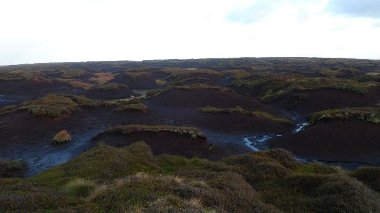
On the map the route could not look more simple, just over a mile of open moorland and along a wide ridge.  On the ground the reality of the Dark Peak moors are a very different proposition.  There are two words that best sum up this sometimes forbidding landscape, these are Peat and grough.  For those of you that have never seen a grough let me explain.  Peat is pretty soft stuff when mixed with large quantities of water, this water eroding the peat leaving disorientating deep channels in the moor.  Think of a black muddy labyrinth that could suck you into its boggy depths at any time and you get the general impression of parts of Bleaklow.  If you want the challenge of some hardcore groughs then go into the hinterland of Kinder Scout where they are up to 15 feet deep.

Anyway this is the view of what greeted us on the journey towards Bleaklow Stones, here shortie gaiters really don’t cut the mustard.  Unfortunately I was wearing shortie gaiters, Rich was wearing none.

I don’t know why I said it but I muttered something about it being hard to navigate up there in mist.  Those words acted like some form of curse as ten minutes later a huge bank of the stuff covered the tops like a damp mattress.  We could see blue sky above but not more than 50 metres in front, the early evening light turned it into an eerie sort of place.

That mile took forever as the maze of groughs never head in the right direction.  It is a constant up and down, peat covering everything from the waist down.  Sometimes the maze heads the correct way before sneaking off 90 degrees leading to a fair bit of confusion.  I am sure that the route we actually walked looked a little like this:

Thing is we will never know as we often were pretty unsure exactly where we were for a good hour.  Eventually we got excited because we spotted a rotting wooden stake in the ground and a vague peaty path which lead us almost comfortably to Bleaklow Stones.  These are easily identified by a giant anvil or what my mind tells me is a whale’s tail.  In the mist there are many odd shapes to let your imagination run riot.

The afternoon had turned to evening and we did not have much time left until it got dark, time to get a move on as darkness would just confound the navigational difficulties.  It is here that I admit to cheating a little bit, using the Roadtour East Midlands app on the iPhone a couple of times to check our exact location.  There was an amazing spectacle when the setting sun hit the mist surrounding us turning everything a pinkish orange, totally confounding my camera so no picture.  The mist would suddenly clear giving wild dramatic views before engulfing us again this time in an unexpected rain shower, typical!  There was so much drama going on in the sky that approaching darkness went unnoticed until it was suddenly upon us and head torches had to be switched on to cross rough and very boggy moorland.

On our the final approach to our chosen camp spot the ground suddenly became dangerously boggy, the ground quaking in a threatening manner.  Headtorches unable to pick out a direct route we thrashed through high reeds and stinking bog to reach safer ground.  It was with relief that we located our grassy oasis in the middle of the moor.  Tents were pitched by head torch with a rising moon as a backdrop.  There was not a breath of wind and the temperature started to drop, we soon retired into individual tents to make hot drinks and get dinner on.

Whilst cooking we noticed two headtorches on the ridge above heading in our direction, we watched for a few minutes before they suddenly vanished.  Night walkers or the ghosts of airmen lost on the high moors after their plane crashed?  There are many ghostly stories about Bleaklow.

It was a very cold night with the tent being encrusted in frost and an inch of ice in the pan when I got up to pee at 4am.  I soon snuggled back into my sleeping bag cursing the fact that it is difficult to judge flatness when pitching a tent in the dark.

Dawn soon came and I awoke to an inner tent totally dripping with condensation, any slight movement meaning I would get a cold shower.  I reached for my trousers left in the porch and noticed that they were frozen solid from the knee down.  This coupled with frozen boots meant a less than pleasant start to the day.  Moving around to get warm I waited for the sun to hit our camp spot.

It was sheer bliss when it did and we sat outside and drunk coffee whilst cooking breakfast, enjoying our peaceful remote spot.

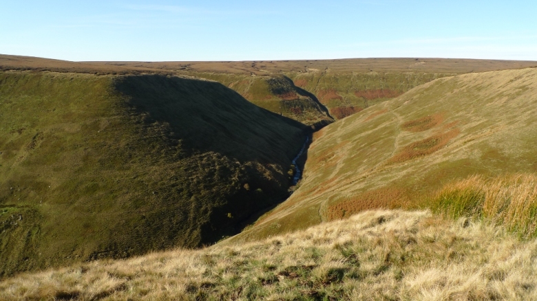
We lounged around in the sun until about 10am before packing and heading down towards the start of the river Alport, the most glorious few miles in the whole of the Peak District.  A feint path hugs the edge of the valley which snakes dramatically towards Alport Castles.  Every inch is a delight although you have to be careful not too get tempted by the path that constantly wants to make you head towards the river at the bottom.  If you do then you end up with a monster climb back up again.  Stick to the edge where grass suddenly turns into rough moor and the going is easy.

Suddenly Alport Castles was at our feet, one of the wonders of the Peak District in my eyes and a place I never tire of visiting.  Our visit coincided with the first people we had seen for almost exactly 24 hrs and it suddenly all seemed a little too crowded!

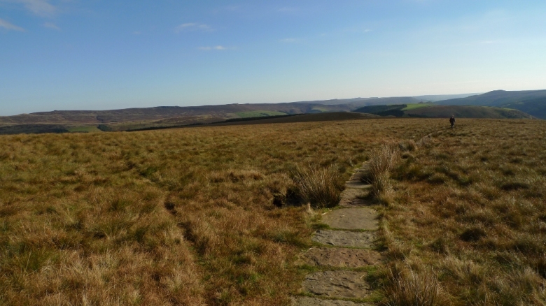
The path across Rowlee pasture is over easy flagstones meaning that I was free to take in the views around me in the very clear air.

Suddenly the Woodland valley was at our feet with the whole northern side of Kinder Scout looking inviting on the other side.

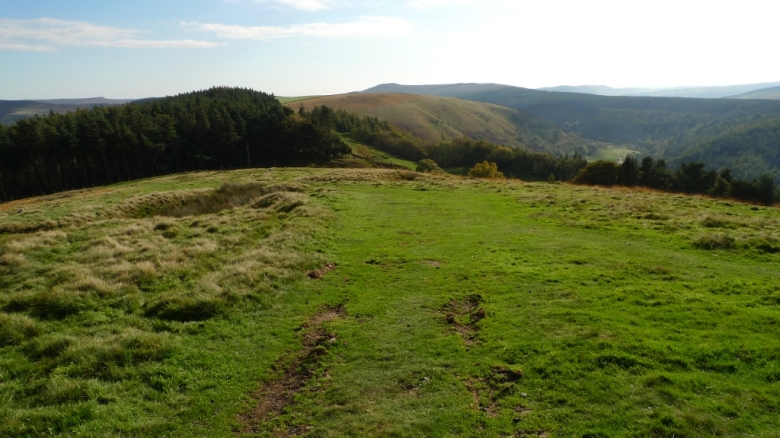
The final part of the ridge is easy and grassy and just before Bridge-end pasture we took the bridleway down through the woods to the road along the reservoir.  Here we entered another much busier world, full of overflowing car parks and picnicking families.  It felt as warm as mid summer, it was only the colour of the trees etched against a brilliant blue sky that told the full truth.

Winter is on its way.

Disclaimer: You are not allowed to camp on access land in the Peak District, please don’t do it because it’s naughty.  If you do choose to do so then don’t light a fire, take your rubbish home and bury your poo.  I’m watching you…………….

October 15, 2010

A Elenydd backpack from Rhandirmwyn

by backpackingbongos

It looked like we were going to be weather blessed, the forecast the night before showing temperatures reaching up to 21 C with clear sunny skies.  Not bad for the second weekend in October!

Friday morning we set off for an area which when mentioned makes my heart skip a little bit, that area is called the Elenydd, the green desert of Wales.  The Elenydd covers a vast area, to the north is Pumlumon, whilst to the south is the town of Llandovery.  A huge sprawling mass of upland hills, not the most spectacular you can find in Wales but most definitely the loneliest.  One of those rare places where you can walk all day with the only company being the numerous red kites soaring in the sky above.  Being a misanthropic sort of backpacker this area is right up my street.  This also is not an area for the novice as many of the upland paths exist only in the minds of the map maker and there is rarely anyone around to seek advice.  Plus some of those boggy tussocks can swallow a person whole before spitting them out in a soggy mess!

Day 1 – 4.1 miles with 430 metres ascent

A later start than originally planned and some crappy traffic trying to get around Birmingham on the M42 meant that it was pretty much 3.00pm by the time the Bongo was parked up in Rhandirmwyn.  We left it snuggled up to the bus shelter, shouldered our packs and drooled outside the tea room with plans being made for our return on Sunday.  I paid particular attention to the part of the menu that mentioned ‘chips’.  With lunch already in our bellies courtesy of M&S on the motorway down we set off to find the first footpath that would lead us up into the hills.  Mixed messages were immediately given out with a footpath sign pointing through a gate with a ‘beware of the dog sign’ stuck to it.  The next fence was amply signed by yellow arrow things and we began to think that maybe things are changing in Wales and all paths would be easy to follow.  No such luck as we were then confronted by a solid wall of conifers with a neglected stile being the only evidence that a path once existed.  There was then a very sweaty half hour as we followed a non existent path through deep, steep conifers using a rotting fence as a handrail.  We were eventually spat out into a clearing where bracken had taken over what may once upon a time been a track.  Deeper and higher into the forest we went, slow going and a test of micro navigation until the open ridge line was reached and the navigator (me) sighed with relief.

At this point I feel that I should point out that the cheerful weatherman the night before had been spinning another tale of pure fiction.  The wind was getting up enough courage to call itself a gale and heavy mist and haze covered all views.  All in all under the conditions a rather uninspiring spot.  Inspiration was further relegated as a long trudge followed along a forestry track, enlivened only by myself trying to walk with pacerpoles for the first time.  Not an easy thing to get right for the first few minutes (or hour!).

A trig point was reached at the edge of the forest meaning it was time to off-road and see if we could locate the bridleway which is confidently marked by green dashes on the map.  Don’t look for it as it is not there and be carefull and suspicious of areas on these moors that give way from tussocks to reeds at the heads of valleys.  Realisation that you are in the middle of a bog always comes too late and you just have to put up with muddy water filling your boots.  Extricated to firmer ground we headed for the spot I had identified for a high wild camp, which indeed was flat, sheltered and gave the promise of good views if the mist cleared a bit.  Unfortunately it was a thistle fest, tall, small and those ones that hug the ground.  Not a place to pitch a tent.  We found a flat bit of ground higher up, exposed to the full force of the wind.  Not an ideal spot but darkness was not far away.  It took two people to wrestle one man tents into tent like forms as they tried to launch themselves into the air.

No photos today as to put it simply, the weather was crap.

Day 2 – 11.2 miles with 790 metres ascent

It was a windy night, full of those unpredictable gusts followed by silence before another onslaught crashed into the tent.  You could hear the wind roaring across the moors and you could never be certain whether they would be heading for you.  Dawn brought a heavy persistent mizzle and lower clouds, just skimming the tops of the tents.  With the wind and damp air it took us a while to stir from the comfort of sleeping bags and tents.  Once again it was a two man wrestling match to get each tent back into its bag, any careless mistake and it would become a very expensive kite.  Packed up it was back down to where I originally planned to camp.  Here we left the non existent bridleway and contoured through pastures to come out at a minor road which we followed towards the dam at Llyn Brianne.  The view down to the River Towey was pretty impressive even through the murk.

The public loo’s at the car park are just about hanging on, although in a bit of a state.  The people who use the gents seemingly preoccupied with putting body parts into mouths according to the extensive graffiti.  Signs surrounding the reservoir were also preoccupied, this time with stopping people enjoying themselves on the water in canoes.  CCTV cameras pointing in all directions, it all felt a bit odd and bleak so we crossed the dam which was impressive by its size.

Civilisation was soon left far behind as we followed the reservoir track before a pleasant descent into a valley un-named on the map.  Reaching Troed-rhiw-ruddwen we had to make a decision, follow the planned route up the spectacular Doethie or shorten the day by heading towards the Pysgotwr.  After a very late start we were pretty behind where I had planned us to be by now, so we decided to have a more leisurely day and go for a short cut.

I knew that I was entering an area where the farmer has a reputation for being pretty aggressive towards Hikers, but I was not sure exactly where about we could be made to feel unwelcome.  I have read stories of people being attacked trying to use rights of way, with even the farmers children being set on the unsuspecting public.  I will try to dig it out but I am sure that Jim Perrin has written an article on his experience at the hand of the landowner in this area.

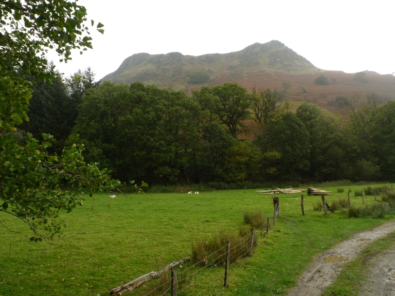
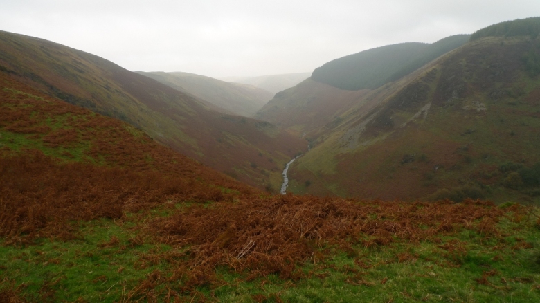
It was therefore with a degree of trepidation that we followed a track that is not a right of way towards the bridge over the river Doethie (the bridleway fords from the other side and the river is pretty substantial).  The scenery began to get ever more spectacular, which was hard to capture in the poor light.

Safely across the bridge and back onto the right of way I started to fret about approaching the buildings at Troed-rhiw-cymmer, which I am sure I had read about hostility.  We managed to bypass on a track round the back and started ascending steeply with splendid views north right up the wild Doethie valley.
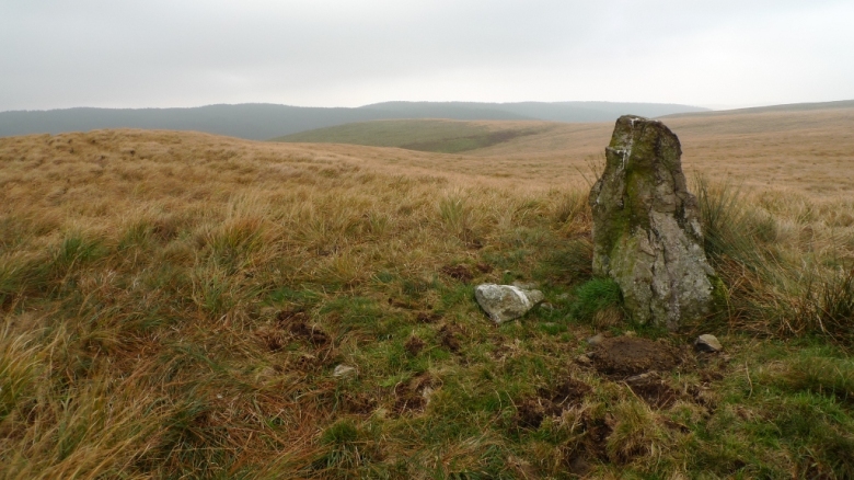
The track soon levels out and crossed rugged moorland, full of bogs and deep tussocks, the bridleway being non existent on the ground we stuck to the hard surface.  A standing stone was the only thing to break up the endless flow of wind blown grass.

Descending towards Bryn-ambor we saw a magnificent sight.  Five horses were running up the track a mile or so away, speedily getting closer towards us.  Right at the last minute they exited the track, a foal excitedly leading the way across the moors.  It was pretty much at that moment that shafts of sunlight broke through the gloom, lighting up the autumnal valley of Afon Pysgotwr Fawr.

Approaching the road head we saw what from a distance looked like two elderly women in headscarves, next to a quad bike that soon sped off.  As we approached it became apparent that it was two young teenagers attired in a strange combination of urban hoodie and welly boots.  They were waiting for us and greeted us with a barrage of questions, “where have you been?”, “Where are you going?”.  That sort of thing.  They then went into detail that their dad owned all of this land which appeared to stretch for miles in either direction.  It was an odd sort of encounter, they were not particularly intimidating but I started to feel that it could go either way.  It became apparent that these were those kids I had read about, whose dad had used in the past to scare off unwanted hikers.  If you visit this area make sure that you stick to rights of way or access land and be prepared to be challenged.  We remained polite and made our excuses, crossing the bridge towards Bryn-glas and off their land.

Bryn-glas was tricky as the path went between the farm buildings where we spotted two large sleeping dogs.  Keen to avoid surprising them and the risk of being bitten, we did a bit of climbing over barbed wire fences and fell in a bog in a bid to reach the security of the track on the other side of the farm.  It worked and we were soon descending into another much wilder valley, Afon Pysgotwr Fach, which I have named valley of the tussocks.  These were man eating beasts, almost impossible to walk through without lurching, tripping and falling.  The stream through the valley would be easy to cross if you could find solid ground on either side!

The difficult ground soon gave way to easier grass as we headed for the summit of Carn Nant-yr-ast and its trig point.

After more rough tussocky ground we soon made it to the deserted farm of Blaen-Cothie where after a bit of hunting we found a great flat bit of ground with short cropped grass.  Even the wind which had been howling all day dropped enough to give us a peaceful night.

Day 3 – 11.7 miles with 570 metres ascent

Sunday was meant to be bright and sunny but once again we woke to dull overcast skies, at least packing this time was not an ordeal in tempestuous winds.

The ruins of Blaen-Cothie was a bit of a haunting sight on this bleak October morning, it really is located in the middle of nowhere.  The only concession to modernity being the encroaching plantation and a large corrugated barn across the river.  It must have been a hard life here.

Miles of easy track and a minor lane brought us to the peaceful little hamlet of Cwrt-y-cadno where an old drovers road leads you through high pastures onto the extensive moorland plateau of the Mynydd Mallaen.  For some reason I have always fancied a walk up here, in the end it was nice but not really that exciting!  A boggy track and some off road tussock bashing soon brought us to the huge cairn and summit trig point.  The sky by now was very blue but the haze still hung over the distant hills, taking away any extensive views.  Our eyes were drawn to the badlands to the north and farmers lying in wait for unsuspecting hikers!

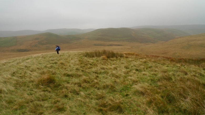
It was a pleasant romp across the moors back to Rhandirmwyn and the trusty Bongo.  Once again the vastness of the open grassland being broken up by a solitary standing stone, the only landmark for miles.  As the afternoon progressed it got hotter and hotter until when we hit the valley bottom it felt like mid summer once again.

Possibly the last time we feel the heat of the sun on our faces whilst backpacking for several months now?